Search

Search Results

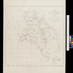
Map to illustrate Mr. W.R.D. Beckett's route, Novr. 1891-April 1892

event1893

location_onVietnam, Thailand, Cambodia, Laos

The route of W.R.D. Beckett between Bangkok and Saigon, partly along the Mekong River, is marked on this map, along with trade routes, police posts, mines (copper, iron, gold), and products (the spice cardamom, and resin benzoin (‘Gumbenjamin’)).

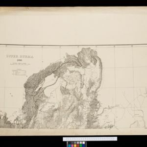
Upper Burma

event1893

location_onMyanmar, Thailand

Map of Upper Burma, showing the borders with Assam (India), China and Siam (Thailand), as well as internal administrative borders. Mountains with their heights, settlements, rivers and railways (completed, proposed and under construction) are shown.

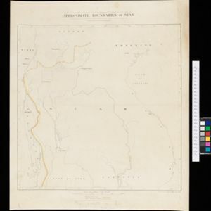
Facsimile of map given to the French Ambassador 29th Aug. 1889 as indicating the Approximate Boundaries of Siam to the North West & North such as they have hitherto been considered

event1893

location_onCambodia, Laos, Myanmar, Thailand, Vietnam

The border between Siam (Thailand) and Tenasserin (Tanintharyi Region, Myanmar) is highlighted on this map, while the more northerly border between Siam and Burma (Myanmar) is marked as being ‘approximate’.

Map to illustrate the Siamese question: showing the present limits of French claims, and the additional territory now demanded

event1893

location_onCambodia, Laos, Malaysia, Myanmar, Thailand, Vietnam

Map highlighting areas of eastern Siam (Thailand) claimed by France. Notes describe Siam’s geography, government, population, military and trade (rice, teak, pepper, bullocks, fish, hides, tin, cardamom, tin), including trading partners by tonnage.

Indo-China

event1893

location_onCambodia, Laos, Myanmar, Thailand, Vietnam, Malaysia

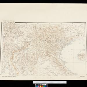
Topographical map of mainland Southeast Asia. Mountains are represented by hachures—short lines/dashes that give a sense of the shape and steepness of terrain—and settlements, roads and rivers are marked.

Map of the Malay Peninsula 1892

event1892

location_onMalaysia, Singapore, Thailand

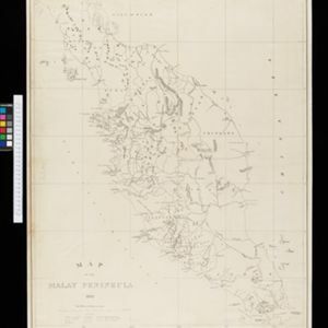
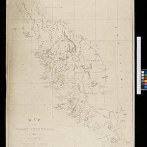
Map of the Malay Peninsula divided into States, with names of local peoples marked (e.g. ‘Inhabited by Sakai & Semang’). Lighthouses are shown around the coast—including Horsburgh Lighthouse and Raffles Lighthouse—with their visible distance.

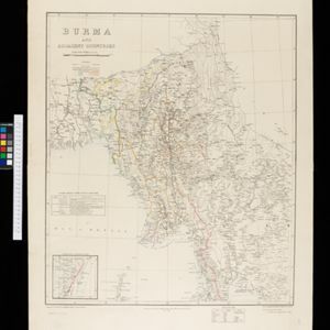
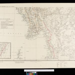
Burma and adjacent countries

event1892

location_onMyanmar, Thailand

The regional and national borders of Burma and Siam are hand-coloured on this map. Provinces, districts and states within Burma are also highlighted, and itemised in a separate list.

Burma and adjacent countries

event1892

location_onMyanmar, Thailand

The regional and national borders of Burma and Siam are hand-coloured on this map. Provinces, districts and states within Burma are also highlighted, and itemised in a separate list.

Stanford's Library Map of Asia

event1891

location_onBrunei, Cambodia, East Timor, Indonesia, Laos, Malaysia, Myanmar, Philippines, Singapore, Southeast Asia, Thailand, Vietnam

Southeast Asia is on sheet four of this map. British colonial territory—British Burma, the Straits Settlements, Sarawak, British North Borneo—is highlighted in red, with the Dutch East Indies, Spanish Philippines and Portuguese East Timor also shown.

Asia

eventc.1890

location_onBrunei, Cambodia, East Timor, Indonesia, Laos, Malaysia, Myanmar, Philippines, Singapore, Southeast Asia, Thailand, Vietnam

This map of Asia is from ‘Stieler’s Schul-Atlas’, a version of ‘Stielers Handatlas’ that was used widely in German schools in the 19th century.

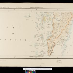
South eastern frontier

eventc.1890-1906

location_onMyanmar, Thailand

Very detailed large-scale map of the southeast border of Burma (Myanmar) and Siam (Thailand), divided into districts. Spread over multiple sheets, seems incomplete (some sheets appear more than once, probably from different versions of the same map).

close