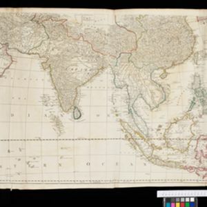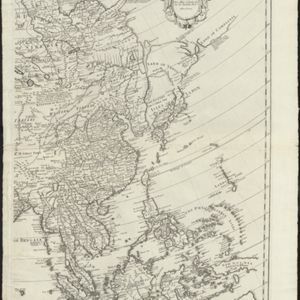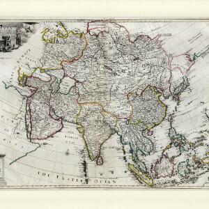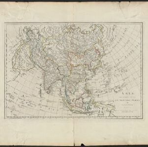
Asia divided into its principal States
1774
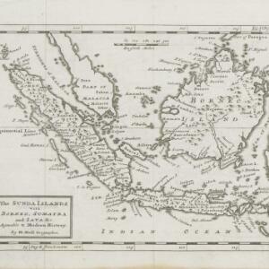
Brunei, Cambodia, East Timor, Indonesia, Laos, Malaysia, Myanmar, Papua New Guinea, Philippines, Singapore, Southeast Asia, Thailand, Vietnam
This late 18th century map of Asia by the British mathematician and cartographer Samuel Dunn uses an azimuthal projection to aid navigation.