Sketch of works before Phu-sa, showing position of troops at 3 p.m. on the 14th Dec 1883, before the assault
event1883
location_onVietnam
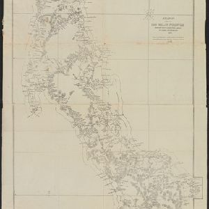
Map of the Malay Peninsula 1879
event1879
location_onMalaysia, Singapore, Thailand
Map of the Malacca territory
event1878
location_onMalaysia
Burmah, Siam and Cochin China
event1875
location_onCambodia, Laos, Malaysia, Myanmar, Thailand, Vietnam
A map shewing the various routes proposed for connecting China with India and Europe through Burmah and developing the trade of Eastern Bengal, Burmah and China
event1875
location_onMyanmar, Thailand
A map of a part of the Malay Peninsula belonging to Siam: copied from a map of the Siamese government in 1870
event1873
location_onMalaysia
Military cantonments: town and suburbs of Akyab, 1853-54
event1866
location_onMyanmar
Extension of the Electric Telegraph to Canton, Hong Kong, etc. from the Port of Rangoon
event1860
location_onMyanmar, Cambodia, Indonesia, Laos, Malaysia, Singapore, Thailand, Vietnam