Search

Search Results

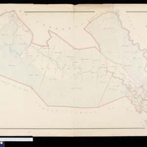
Plan topographique de l'arrondissement de Tan An

event1888

location_onVietnam

Map of the district of Tan An (Tân An in the Mekong Delta, Vietnam) dominated by the two branches of the Vàm Cỏ River. The city of Tan An is in the centre of the more populated southern part of the district.

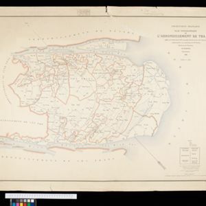
Plan topographique de l'arrondissement de Tra Vinh

event1888

location_onVietnam

Map of the province of Tra Vinh (Trà Vinh in the Mekong Delta, Vietnam) situated between the mouths of the Sông Cổ Chiên and Bassac rivers. The city of Tra Vinh is towards the north, surrounded by fields, villages, rivers and roads.

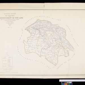
Plan topographique de l'arrondissement de Vinh Long

event1885

location_onVietnam

Map of the province of Vinh Long (Vĩnh Long in the Mekong Delta, Vietnam) on the southern bank of the Cổ Chiên River. The city of Vinh Long is on the river, surrounded by rivers, roads, fields and villages.

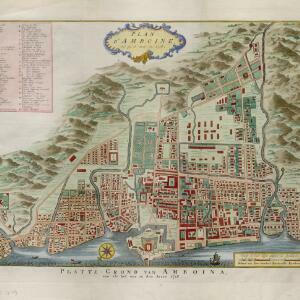
Plan d'Amboine, tel qu'il étoit en 1718 = Platte-grond van Amboina, zoo als het was in den jaare 1718

eventc.1746-1770

location_onIndonesia

This colourful mid-18th century plan of the city of Amboine (Ambon, capital of Ambon Island, in the Maluku Islands, Indonesia) has a detailed legend identifying locations within the city and the surrounding mountains. The text is in French and Dutch.

close

  • Filter from 1746 to 1888

Current results range from 1746 to 1888