Search

Search Results

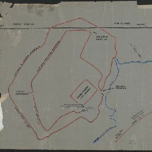
[Outline map of the capital Co-loa, North Vietnam]

event1900

location_onVietnam

This map of the fortified settlement of Cổ Loa (near Hanoi, northern Vietnam) shows the royal city, battlements and gates, a temple and a well. Artefacts dating to the Bronze Age have been found on this early site of Vietnamese civilization.

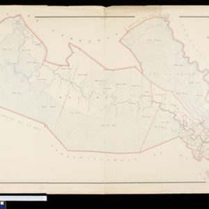
Plan topographique de l'arrondissement de Tan An

event1888

location_onVietnam

Map of the district of Tan An (Tân An in the Mekong Delta, Vietnam) dominated by the two branches of the Vàm Cỏ River. The city of Tan An is in the centre of the more populated southern part of the district.

Plan topographique de l'arrondissement de Tra Vinh

event1888

location_onVietnam

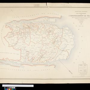
Map of the province of Tra Vinh (Trà Vinh in the Mekong Delta, Vietnam) situated between the mouths of the Sông Cổ Chiên and Bassac rivers. The city of Tra Vinh is towards the north, surrounded by fields, villages, rivers and roads.

Plan topographique de l'arrondissement de Vinh Long

event1885

location_onVietnam

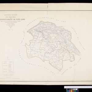
Map of the province of Vinh Long (Vĩnh Long in the Mekong Delta, Vietnam) on the southern bank of the Cổ Chiên River. The city of Vinh Long is on the river, surrounded by rivers, roads, fields and villages.

Itinéraire de Hanoi à That-khe par Lang-son (Frontière Chinoise du Kouang-Si)

event1881

location_onVietnam

A late 19th century map depicting a route from Hanoi to That-Khe via Lang-Son (in northern Vietnam, near the border with China at Kouang-Si (Guangxi)). Two inset maps feature plans of military forts, villages, rivers and fields along the route.

Plan topographique de l'arrondissement de Gocong

event1881

location_onVietnam

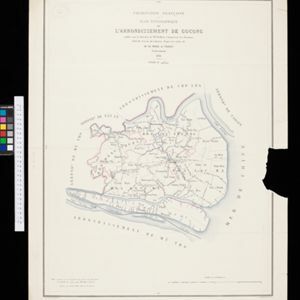
Map of the district of Gocong (Gò Công, Vietnam), near the mouth of the Mekong River. The town of Gocong is in the centre, surrounded by rivers, canals, fields and villages.

Carte du cours de la Riviere de Meinam: depuis Judia jusqu'à son embouchure

event1730

location_onThailand

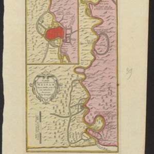
Map of the Meinam (Chao Phraya) river from the city of Judia (Ayutthaya) to its mouth near Bangkok. Features temples, villages, a Bishop's Palace, a fort at Bangkok, and a ‘Champ des Eléphans [Elephant Field]’. The text is in French and Dutch.

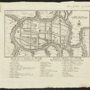
Plan de la Ville de Siam: Capitale du Royaume de ce nom = Platte grond van Siam: Hoofd stad des Koningryks van dien' naam

event1687

location_onThailand

Map of the Siamese city of Ayutthaya (‘Ville de Siam’), surrounded by the Menam River (Chao Phraya River). Roads and buildings are marked, including a number of royal palaces and pagodas, which are listed on the Dutch and French-language legend.

close