Search

Search Results

Java

event1894

location_onIndonesia

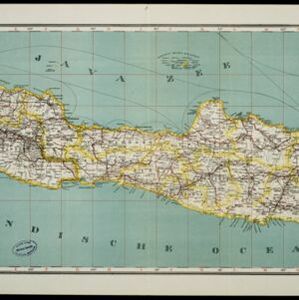
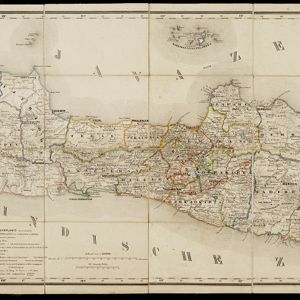
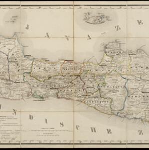
This detailed late 19th century map shows Java divided into regencies, and features mountains, land and sea routes, and an inset map of the port city of Batavia (Jakarta). It was designed to be folded within book covers so it could be easily carried.

Java

event1890

location_onIndonesia

This detailed late 19th century map shows Java divided into regencies, and features settlements, roads, railways, rivers, and maritime routes. There is also an inset map of the Kangean Islands.

Java

event1890

location_onIndonesia

This detailed late 19th century map shows Java divided into regencies, and features mountains, roads, railways, and rivers. There is also an inset map of the port city of Batavia (Jakarta).

[Verzamelkaart van door uitbarsting en vloedgolf verwoeste gebieden]

event1883

location_onIndonesia

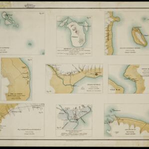
Nine maps of the effects of the 1883 Krakatoa volcanic eruption, including on Rakata Island itself, and Calmeyer Island (formed by the eruption). Other maps use brown shading to show the flooding of nearby islands and settlements by ensuing tsunamis.
Java en Madoera

event1875

location_onIndonesia

This detailed late 19th century map shows Java and Madura divided into regencies, and features mountains, roads, railways, and rivers.

Java en Madoera

event1873

location_onIndonesia

This detailed late 19th century map shows Java and Madura divided into regencies, and features mountains, roads, railways, and rivers.

Kaart van het eiland Java

event1855

location_onIndonesia

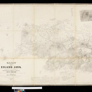
Detailed map of Java based on the expeditions of the geologist and botanist Dr. Franz Junghuhn. There are 16 inset maps featuring volcanoes, mountains and coal seams.

Kaart van het eiland Java

event1855

location_onIndonesia

Detailed map of Java based on the expeditions of the geologist and botanist Dr. Franz Junghuhn. There are 16 inset maps featuring volcanoes, mountains and coal seams.

Kaart der Residentie Bantam

event1854

location_onIndonesia

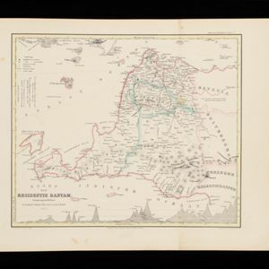
Map of the Dutch colonial administrative region (residency) of Bantam (Banten, Java) divided into four regencies, featuring Banten Bay and Krakatoa. (From ‘Algemeene Atlas van Nederlandsche Indie [General Atlas of the Dutch East Indies]’.)

Nieuwe en zeer naaukeurige kaart van t eyland Java Major of Groot Java: verdeeld in seven byzondere bestekken

event1728

location_onIndonesia

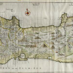
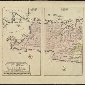
On this beautifully illustrated and coloured map of Java, mountains, trees, fields of crops and settlements are shown pictorially. The coasts are marked with shoals, reefs, bathymetry (sea depth, in figures) and anchor points.
Nieuwe en zeer naaukeurige kaart van t eyland Java Major of Groot Java: verdeeld in seven byzondere bestekken

eventc.1726

location_onIndonesia

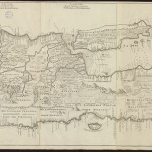
On this beautifully illustrated and detailed map of Java, mountains, trees, fields of crops and settlements are shown pictorially. The coasts are marked with shoals, reefs, bathymetry (sea depth, in figures) and anchor points.

close

  • Filter from 1726 to 1894

Current results range from 1726 to 1894