Search

Search Results

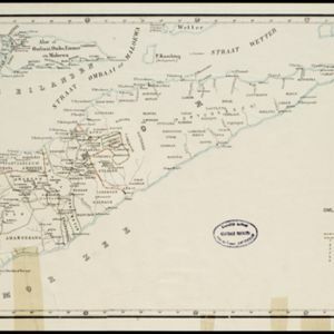
Kaart van Timor en omliggende eilanden

event1898

location_onIndonesia, East Timor

On this map of the island of Timor, the Dutch and Portuguese colonial territories are divided by orange borders. The Dutch territory—most of the western half of the island—is divided by green borders into administrative districts.

Kaart van het eiland Lombok

event1897

location_onIndonesia

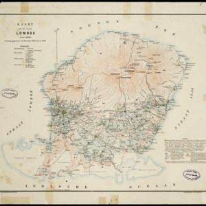
Topographic map of the island of Lombok in the Lesser Sunda Islands, with terrain shown by contour lines. Administrative districts, villages, routes, forests and crops (rice, coconut, coffee, banana, alang-alang, bamboo, Javanese pine) are marked.

Kaart van midden Lombok

event1897

location_onIndonesia

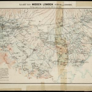
Map of southern Lombok in the Lesser Sunda Islands, including the capital city Mataram, other settlements, routes and crops/plantations—rice, coconut, tea, coffee, banana, alang-alang, bamboo, arenga palm—with more mountainous regions to the north.

Kaart van Midden Lombok

event1897

location_onIndonesia

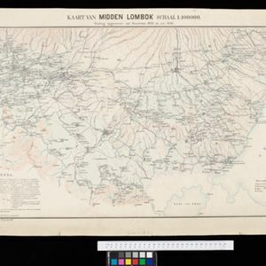
Map of southern Lombok in the Lesser Sunda Islands, including the capital city Mataram, other settlements, routes and crops/plantations—rice, coconut, tea, coffee, banana, alang-alang, bamboo, arenga palm—with more mountainous regions to the north.

Lombok

event1895

location_onIndonesia

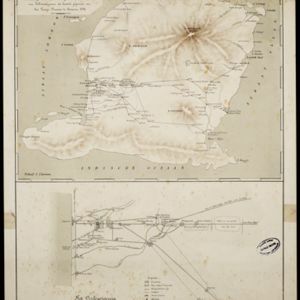
Two maps of Lombok (Lesser Sunda Islands) from the time of the Dutch intervention which led to the colonisation of the island. Both maps focus on roads: the first covers the whole island; the second focuses on the capital city of Mataram.

[Lombok]

event1895

location_onIndonesia

This map of Lombok, in the Lesser Sunda Islands, mainly focuses on roads (marked in red) between the larger settlements. Mountains and rivers are also marked, with shoals, reefs and anchor points around the coast.

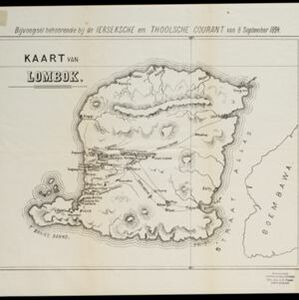
Kaart van Lombok

event1894

location_onIndonesia

Map of Lombok in the Lesser Sunda Islands published by the Dutch newspaper ‘Ierseksche en Thoolsche Courant’. It mainly focuses on roads and paths between the larger settlements, with rivers and mountains also marked.

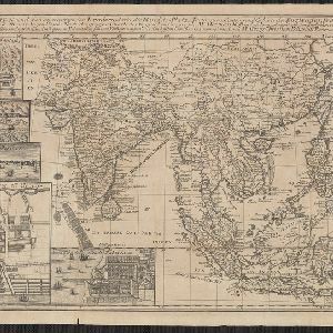
Charte von Ost-Indien und den angroentzenden Laendern

event1737

location_onBrunei, Cambodia, East Timor, Indonesia, Laos, Malaysia, Myanmar, Philippines, Singapore, Southeast Asia, Thailand, Vietnam

The London-based cartographer Herman Moll (1654?–1732) created this map of Asia in the early 18th century. There are five insets showing Asian trading cities, including of the ports of Batavia (Jakarta) and Bantam (Banten) in western Java.

close