Search

Search Results

Map of the Malay Peninsula 1892

event1892

location_onMalaysia, Singapore, Thailand

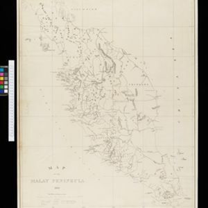
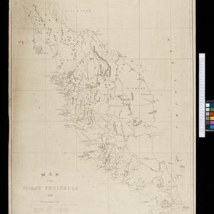
Map of the Malay Peninsula divided into States, with names of local peoples marked (e.g. ‘Inhabited by Sakai & Semang’). Lighthouses are shown around the coast—including Horsburgh Lighthouse and Raffles Lighthouse—with their visible distance.
Map to show lines of advance on Manipur

event1891

location_onMyanmar

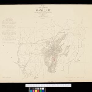
Map of three routes taken by British troops through the mountains to the Indian city of Manipur (Imphal) during the Anglo-Manipur War of 1891. The map includes part of Burma to the east.

Kaart van de afdeeling, eiland Saleijer (Silaijara)

event1889

location_onIndonesia

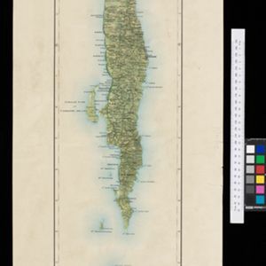
Map of Saleijer (Selayar)—an island off the south coast of Celebes (Sulawesi)—and nearby islands. Settlements and roads are shown, including a long road along the west coast which links cities marked with a Dutch flag, illustrating colonial rule.

close

  • Filter from 1889 to 1892

Current results range from 1889 to 1892