Search

Search Results

[Various Indonesian islands]

eventc.1900

location_onMalaysia, Brunei, Indonesia, Singapore

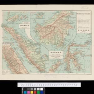
Seven locations in the Dutch East Indies on one sheet: the islands of Borneo, Sumatra, Celebes (Sulawesi), Ambon and Banda, the city of Padang and its region on the west coast of Sumatra, and the tip of the Minahasa Peninsula (northern Celebes).

Map of the Kingdom of Siam and its dependencies

eventc.1900

location_onMyanmar, Malaysia, Singapore, Thailand, Laos, Cambodia, Vietnam

The border of the Kingdom of Siam (Thailand) and its internal administrative districts are highlighted in yellow. Inset maps show the cities of Bangkok, Chiengmai (Chiang Mai) and Luang Pra Bang (Luang Prabang) in more detail.

Map of Singapore and surrounding country

event1899

location_onMalaysia, Singapore, Indonesia

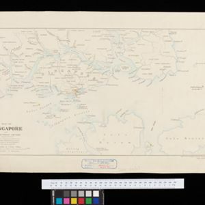
Map of Singapore Island, including the surrounding islands and straits, and southern Johor. Lighthouses are marked in red and yellow, including Horsburgh Lighthouse on Pedra Branca, Raffles Lighthouse and Fort Canning Lighthouse.

Kaart van het eiland Borneo

event1899

location_onBrunei, Indonesia, Malaysia

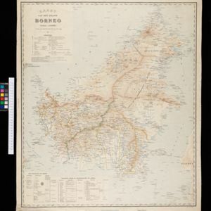
This map of Borneo is divided between two residencies of the Dutch East Indies (Residentie Westerafdeeling van Borneo and Residentie Zuider en Oosterafdeeling van Borneo), and the British protectorates of Sarawak and British North Borneo.

Sumatra

eventc.1899-1902

location_onIndonesia

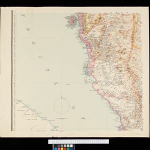
Eight sheets from a large-scale detailed topographic map of Sumatra (many other sheets are missing). Includes crops (rice, coconut, coffee, banana, sugar, gambier, cinnamon, bamboo, alang-alang, arenga palm), routes (railways, roads), settlements.

Indo-Chine: carte de la mission Pavie

event1899

location_onCambodia, Laos, Myanmar, Thailand, Vietnam

Spread over four sheets, this topographical map was based on the explorations of the French civil servant Auguste Pavie. Lasting 16 years (1879–1895), his ‘Missions Pavie’ explored all of mainland Southeast Asia.

Map of the Island of Singapore and its dependencies

event1898

location_onSingapore

Map of Singapore Island, divided into Districts, including the surrounding islands and straits. The city centre, roads and forests are marked. MacRitchie Reservoir is at the centre of the island, with coconut plantations along the east coast.

A map of the Malay Peninsula

event1898

location_onMalaysia, Singapore, Thailand

Map of the Malay Peninsula showcasing the Straits Settlements in pink, the Federated Malay States in red, and Siamese states in yellow. A table of common words in English, Malay and Siamese is included. Only four of six sheets are available.

Kaart van 't noordwestelijke gedeelte der Residentie Ambon

event1898

location_onIndonesia

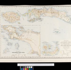
Map of the residency of Ambon in the Maluku Islands, divided by colour-coded administrative borders. There are inset maps the Banda Islands—including the nutmeg plantations and the town of Neira with its fort and hospital—and of Dutch New Guinea.

Kaart der Molukken

event1898

location_onIndonesia, East Timor

Map of the Moluccas (Maluku Islands) divided into the residencies of Ternate (orange borders) and Ambon (green borders). Many place names are in Dutch and Malay, and there is an inset map of the city of Ambon. Timor is marked as Portuguese territory.

Burma and adjacent countries: With additions and corrections to boundaries and railways up to December, 1898

event1898

location_onMyanmar, Thailand

The regional and national borders of Burma and Siam are hand-coloured on this map. Provinces, districts and states within Burma are also highlighted, and itemised in a separate list.

Handelskaart van Java en Madoera

event1898

location_onIndonesia

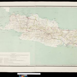
Map of Java and Madura showing routes, especially for trading purposes, including railways, tramways, roads, ports for steamship services, harbours for different types of imports and exports. A list of train and tram routes is included.

close

  • Filter from 1842 to 1900

Current results range from 1842 to 1900