Search Results

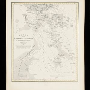
Kaart van de Residentie Riouw en Onderhoorigheden
1860
Indonesia, Singapore, Malaysia
Map of the Dutch colonial administrative region (residency) of Riouw (Riau) focusing on the islands and sea passages, with bathymetry (sea depth) marked. (From ‘Algemeene Atlas van Nederlandsche Indie [General Atlas of the Dutch East Indies]’.)
- River14
- [remove]Telegraph/Telephone14
- Railway/Tramway11
- Road11
- Path10
- Bridge5
- Postal Route4
- Canal3


