Search

Search Results

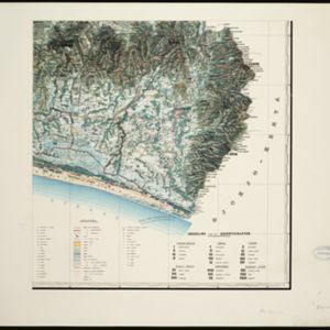
Topographische kaart der residentie Bagelen

event1860

location_onIndonesia

The residency of Bagelen, Central Java, is shown divided into regencies and districts. Coffee, tea and cinnamon plantations, fields of rice, alang-alang and other crops, mountains, rivers, hot and mineral springs, settlements and routes are marked.

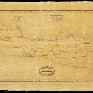
Kaart der telegraaflijnen op Java

event1859

location_onIndonesia

The red lines mark the telegraph lines (‘telegraaflÿnen’) found in mid-19th century Java. The red circles are telegraph offices (‘telegraafkantoren’). Postal routes (‘postwegen’), roads (‘binnenwegen’) and rivers (letter ‘R.’and name) are also shown.

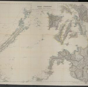
Islas Filipinas. Segunda hoja central

event1852

location_onPhilippines

Produced in Spain, this mid-19th century map details the islands of Visayas, Mindanao and Palawan in the Philippines archipelago. Bathymetry (sea depth) is marked around the islands and on four detailed inset maps of ports in the region.

close