Search

Search Results

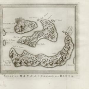
Isles de Banda = Eylanden van Banda

eventc.1772-1780

location_onIndonesia

Map of the Banda Islands—which was at this time the only source of nutmeg in the world—featuring mountains, plantations, settlements and a military fort. On the island of Goenong Api (Banda Api) a volcano erupts (‘api’ means ‘fire’ in Indonesian).

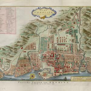
Plan d'Amboine, tel qu'il étoit en 1718 = Platte-grond van Amboina, zoo als het was in den jaare 1718

eventc.1746-1770

location_onIndonesia

This colourful mid-18th century plan of the city of Amboine (Ambon, capital of Ambon Island, in the Maluku Islands, Indonesia) has a detailed legend identifying locations within the city and the surrounding mountains. The text is in French and Dutch.

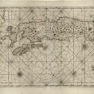
De landvoogdy van Amboina met de elf onderhoorige eylanden

event1726

location_onIndonesia

Although mainly a navigation map—with a rhumbline network and elevations of mountains—there are also many terrestrial details shown, such as settlements and mountains. The inset map of Hoeamohel details plantations and the cultivation of nut crops.

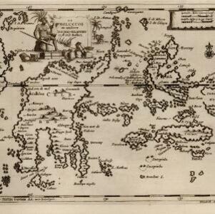
De Moluccos en andere Speceri-Eilanden in d'Oost-Indien

event1714

location_onIndonesia

Map of the ‘Spice Islands’ of maritime Southeast Asia, including the Maluku Islands. It is decorated with a drawing of an Asian man holding a large bird and a spear, and surrounded by baskets and boxes of goods of the spice trade.

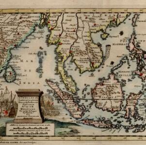
D' Indiaanze landschappen, zeen en eylanden, van Couchin af, tot in de Moluccos, en na by gelegen eylanden

event1707

location_onBrunei, Cambodia, East Timor, Indonesia, Laos, Malaysia, Myanmar, Philippines, Vietnam, Thailand, Southeast Asia, Singapore

The title cartouche of this early 18th century map of Southeast Asia is decorated with two drawings of battles. On the left, a sea battle with smoke rising from the ships’ cannons. On the right, an army attacks a walled city which is on fire.

close

  • Filter from 1707 to 1772

Current results range from 1707 to 1772