Search

Search Results

Kaart van het eiland Borneo

event1899

location_onMalaysia, Indonesia, Brunei

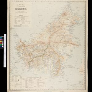
This map of Borneo is divided between two residencies of the Dutch East Indies (Residentie Westerafdeeling van Borneo and Residentie Zuider en Oosterafdeeling van Borneo), and the British protectorates of Sarawak and British North Borneo.

Kaart van het eiland Borneo

event1899

location_onBrunei, Indonesia, Malaysia

This map of Borneo is divided between two residencies of the Dutch East Indies (Residentie Westerafdeeling van Borneo and Residentie Zuider en Oosterafdeeling van Borneo), and the British protectorates of Sarawak and British North Borneo.

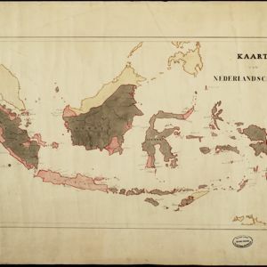
Kaart van Nederlandsch Indie

event1895

location_onIndonesia, Singapore, Brunei, Malaysia, East Timor, Philippines

This simple hand-drawn map of maritime Southeast Asia is coloured to highlight the areas under Dutch colonial rule.

Algemeene kaart van Nederlandsch Indië

event1879

location_onCambodia, Indonesia, Papua New Guinea, East Timor, Southeast Asia, Thailand, Malaysia, Philippines, Laos, Vietnam, Singapore, Brunei, Myanmar

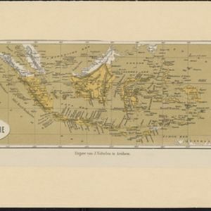
A late 19th century map of the Dutch East Indies on four sheets, detailing maritime routes around the region. There are also inset maps showing railways, rivers, roads, and telegraph systems, as well as individual islands and cities.
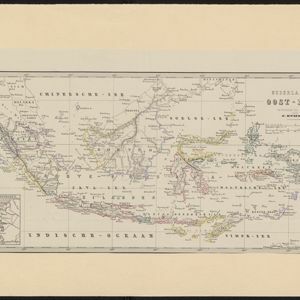
Nederlandsch Oost-Indie

event1867

location_onBrunei, East Timor, Indonesia, Malaysia, Philippines, Singapore, Thailand

Map of the Dutch East Indies, divided into administrative regions with coloured borders. There is an inset map of the important port city of Batavia (Jakarta) and its surroundings.

Oost-Indie

eventc.1867

location_onBrunei, Cambodia, East Timor, Indonesia, Laos, Malaysia, Myanmar, Philippines, Singapore, Southeast Asia, Thailand, Vietnam

Map of the East Indies in the mid-19th century, with Dutch colonial territory (Dutch East Indies) coloured in brown. Dutch administrative regions—such as residencies (‘residentie’) and governorates (‘gouvernement’)—are labelled.
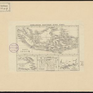
Nederlandsche overzeesche bezittingen / Oost-Indië

event1856

location_onBrunei, East Timor, Indonesia, Malaysia, Singapore

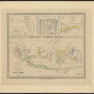
Map of the East Indies, showing Dutch colonial territory (Dutch East Indies) in the mid-19th century. Coloured borders are used to highlight internal administrative regions. Three inset maps show other Dutch territories outside Southeast Asia.

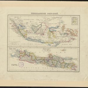
Nederlandsch Oost-Indië / Java

eventc.1850

location_onBrunei, East Timor, Indonesia, Malaysia, Philippines, Singapore, Thailand

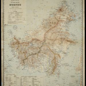
Two maps of the Dutch East Indies: one of the whole region, and one of Java alone. Both are divided into administrative regions—e.g. Java is divided into regencies—with coloured borders.

Nederlandsche bezittingen buiten Europa

eventc.1850

location_onBrunei, East Timor, Indonesia, Malaysia, Singapore

Map of the East Indies, showing Dutch colonial territory (Dutch East Indies) in the mid-19th century. Three inset maps show other Dutch territories outside Southeast Asia.
close

  • Filter from 1770 to 1899

Current results range from 1770 to 1899