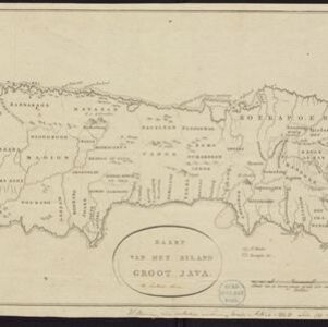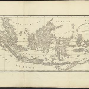
Kaart van Nederlands Oostindische bezittingen
1843
Malaysia, Singapore, Indonesia, East Timor
Map of Dutch colonial possessions in maritime Southeast Asia, labelled with the names of administrative areas. Mountains are represented by hachures, short lines/dashes that give a sense of the shape and steepness of terrain.