Search

Search Results

Principal Dutch colonies in the Indian seas

event1872

location_onBrunei, Indonesia, Malaysia

Two maps of the Dutch East Indies, decorated with drawings of local people and animals. Dutch colonial territory and local sultanates and provinces are highlighted. The heights of Java’s mountains and settlements are displayed in an elevation view.

Western part of the Java Sea : from Lucipara I. to Sunda Strait and Batavia

event1866

location_onIndonesia

Designed to aid navigation around the western Java Sea, this map features bathymetry (sea depth), current and tide data, and is marked with shoals, reefs and other hazards. Written notes add details at specific locations (e.g. ‘heavy tide rips’).

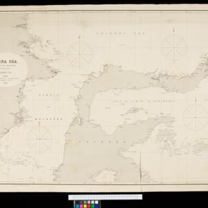
China Sea: Strait of Macassar to Celebes Sea

event1864

location_onIndonesia

Navigation map of the Celebes Sea, Makassar Strait and Java Sea, with bathymetry (sea depth), maritime routes, shoals and reefs, and landmark coastal mountains to aid navigation. On two sheets, which may not be from the same original map.

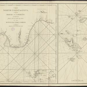
The North Coast of Java, from Madura to Samarang

event1818

location_onIndonesia

Chart of the north coast of Java, featuring a rhumbline network—a web of lines to help plot routes—bathymetry (sea depth), shoals, reefs and side views of landmark mountains (elevations), all to aid navigation. With an inset map of nearby islands.

close