Search

Search Results

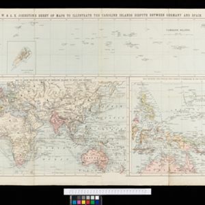
W. & A.K. Johnston's sheet of maps to illustrate the Caroline islands dispute between Germany and Spain

event1885

location_onSoutheast Asia, Papua New Guinea, Indonesia, Philippines, Malaysia, East Timor

Three maps of the Caroline Islands. One shows colonised areas in Southeast Asia: Dutch East Indies; British North Borneo, British New Guinea; German New Guinea; Philippines (Spain); Portuguese Timor. The route of the Challenger expedition is marked.

New chart of Sunda Straits

event1883

location_onIndonesia

A map documenting the effects of the Krakatoa volcanic eruption, detailing the destruction of part of the Krakatoa Island and damage to surrounding areas. Created by a ship’s captain who passed through the Sunda Strait five days after the eruption.

Western part of the Java Sea : from Lucipara I. to Sunda Strait and Batavia

event1866

location_onIndonesia

Designed to aid navigation around the western Java Sea, this map features bathymetry (sea depth), current and tide data, and is marked with shoals, reefs and other hazards. Written notes add details at specific locations (e.g. ‘heavy tide rips’).

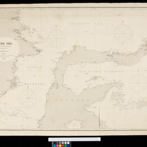
China Sea: Strait of Macassar to Celebes Sea

event1864

location_onIndonesia

Navigation map of the Celebes Sea, Makassar Strait and Java Sea, with bathymetry (sea depth), maritime routes, shoals and reefs, and landmark coastal mountains to aid navigation. On two sheets, which may not be from the same original map.

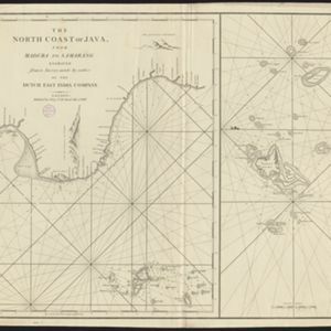
The North Coast of Java, from Madura to Samarang

event1818

location_onIndonesia

Chart of the north coast of Java, featuring a rhumbline network—a web of lines to help plot routes—bathymetry (sea depth), shoals, reefs and side views of landmark mountains (elevations), all to aid navigation. With an inset map of nearby islands.

close