
Search


Refine your results
Location
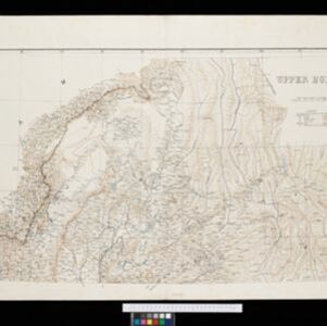
- check_box[remove]Upper Burma5
- check_box_outline_blankLower Burma4
- check_box_outline_blankBurma3
- check_box_outline_blankBritish Burma2
- check_box_outline_blankNorth Shan States2
- check_box_outline_blankRangoon2
- check_box_outline_blankYangon2
- check_box_outline_blankAyeyarwady River1
- check_box_outline_blankHsi Paw1
- check_box_outline_blankHsipaw1
- check_box_outline_blankIrrawaddy River1
- check_box_outline_blankLower Shan States1
- more Detailed Location »


