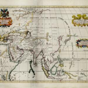
Present Asia: distinguisht into its general divisions or countries together with their capital cities chief rivers mountains &c.
1701
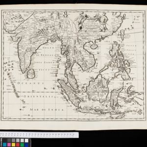
Brunei, Cambodia, East Timor, Indonesia, Laos, Malaysia, Myanmar, Papua New Guinea, Philippines, Singapore, Southeast Asia, Thailand, Vietnam
This map of Asia is dedicated to Prince William, Duke of Gloucester, and features a drawing of his coat of arms. He had been in line to succeed to the English throne, but died at the age of 11 in 1700, the year before this map was produced.