Search

Search Results

A new and correct chart of part of the island of Java from the west end to Batavia with the Streights of Sunda

event1711

location_onIndonesia

This early 18th century maritime map charts the waters of the Straits of Sunda, between the islands of Java and Sumatra. The web of lines is a rhumbline network, while the numbers indicate sea depth (bathymetry), both used to aid navigation.

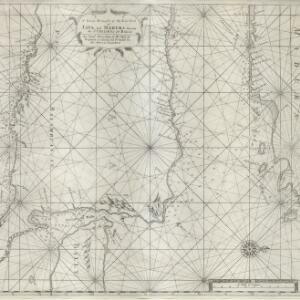
A large draught of the east end of Java and Madura shewing the Streights of Bally

event1711

location_onIndonesia

This early 18th century maritime map charts the waters between the islands of Java, Madura and Bally (Bali). The web of lines is a rhumbline network, while the numbers indicate sea depth (bathymetry), both used to aid navigation.
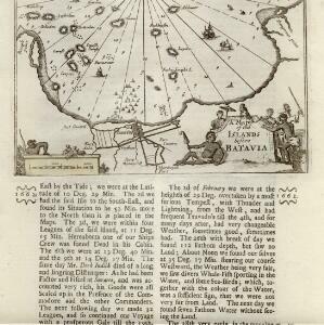
A mapp of the islands before Batavia

event1704

location_onIndonesia

This early 19th century map is from a book titled ‘Mr. John Nieuhoff's Voyages’ in which the author reports on his travels to Southeast Asia, including a detailed description of the important port city of Batavia, as shown on the map.

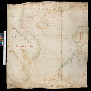
[Portolan chart of the South China Sea]

event1701

location_onBrunei, Cambodia, Indonesia, Laos, Malaysia, Philippines, Thailand, Vietnam

Hand-drawn portolan (nautical) chart, featuring a rhumbline network (the web of interconnected lines), bathymetry (sea depth), shoals and reefs, names of coastal settlements, and an elevation (side view) of a mountain at the north tip of Borneo.

[Portolan chart of the Java Sea]

event1701

location_onMalaysia, Indonesia

Hand-drawn portolan (nautical) chart, featuring a rhumbline network (the web of interconnected lines), bathymetry (sea depth), shoals and reefs, and names of coastal settlements, all to aid navigation. With a colourful compass rose.

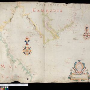
[Portolan chart of the Gulf of Siam]

event1697

location_onThailand, Vietnam, Malaysia, Cambodia

A brightly-coloured hand-drawn map of the Gulf of Siam, made for a ship’s captain. The elaborate compass roses are the centre of a rhumbline network, a web of lines to aid navigation. Bathymetry (sea depth), islands, shoals and reefs are also marked.

close