Search
Refine your results
- Filter from 1885 to 1900
Current results range from 1885 to 1900
Location
- check_box_outline_blankLuzon2
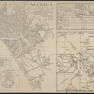
- check_box_outline_blankManila2
- check_box_outline_blankMindoro2
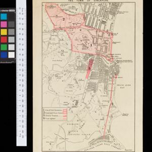
- check_box_outline_blankTanjong Pagar2
- check_box_outline_blankAyerbrani Island1
- check_box_outline_blankBinondo1
- check_box_outline_blankBlakan Mati Island1
- check_box_outline_blankBorneo1
- check_box_outline_blankBrani Island1
- check_box_outline_blankErmita1
- check_box_outline_blankFort Canning1
- check_box_outline_blankMalate1
- more Detailed Location »
Land Use
- check_box_outline_blankCemetery/Columbarium4
- check_box_outline_blankChurch4
- check_box[remove]Court of Law4
- check_box_outline_blankHospital4
- check_box[remove]Military Barracks4
- check_box_outline_blankPolice Station4
- check_box_outline_blankResidential Area4
- check_box_outline_blankPublic Space3
- check_box_outline_blankJail/Prison2
- check_box_outline_blankMosque2
- check_box_outline_blankPalace2
- check_box_outline_blankKampong/Village1
- check_box_outline_blankMilitary Fort1
- check_box_outline_blankPost Office1
Land and Sea Routes
Cultural and Political Regions
Environmental Features
Insets and Attributes
Map Production Details
- check_box_outline_blankJulius Bien & Co.1
- check_box_outline_blankPhilippines Company1
- check_box_outline_blankSchool of Military Engineering, Chatham1
- check_box_outline_blankStanford's Geographical Establishment1
- check_box_outline_blankWar Department, Adjutant General's Office, Military Information Division1


