Search Results

Map of the Kingdom of Siam and its dependencies
c.1900
Myanmar, Malaysia, Singapore, Thailand, Laos, Cambodia, Vietnam
The border of the Kingdom of Siam (Thailand) and its internal administrative districts are highlighted in yellow. Inset maps show the cities of Bangkok, Chiengmai (Chiang Mai) and Luang Pra Bang (Luang Prabang) in more detail.
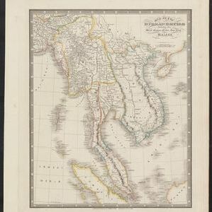
Map of the Burman Empire including also Siam, Cochin-China, Ton-king and Malaya
1842
Vietnam, Malaysia, Myanmar, Cambodia, Thailand, Laos, Indonesia, Singapore, Brunei
Although this mid-19th century map covers all of mainland Southeast Asia, the Burman Empire (Myanmar) is shown in greater detail, especially its districts, rivers and place names. It was produced by the James Wyld, geographer to Queen Victoria.
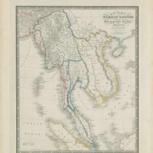
Map of the Burman Empire including also Siam, Cochin-China, Ton-king and Malaya
1842
Vietnam, Myanmar, Malaysia, Indonesia, Thailand, Laos, Cambodia, Brunei, Singapore
Regional borders are colour-coded on this mid-19th century map of mainland Southeast Asia, with British colonial territory in red (including part of the Burman Empire, the Straits Settlements, and Sarawak on Borneo).
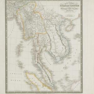
Map of the Burman Empire including also Siam, Cochin-China, Ton-king and Malaya
c.1840-1852
Vietnam, Malaysia, Myanmar, Cambodia, Thailand, Laos, Singapore, Brunei
Although this mid-19th century map covers all of mainland Southeast Asia, the Burman Empire (Myanmar) is shown in greater detail, especially its districts, rivers and place names. It was produced by the James Wyld, geographer to Queen Victoria.
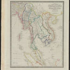
Map of the Burman Empire including also Siam, Cochin-China, Ton-king and Malaya
1832
Vietnam, Myanmar, Malaysia, Indonesia, Thailand, Laos, Cambodia, Brunei, Singapore
Regional borders are colour-coded on this mid-19th century map of mainland Southeast Asia, with British colonial territory in red (including part of the Burman Empire, the Straits Settlements, and Sarawak on Borneo).
[Sumatra and the Strait of Malacca]
c.1800
Malaysia, Singapore, Indonesia
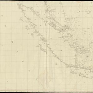
Chart of maritime Southeast Asia, showing bathymetry (sea depth), islands, shoals, reefs, landmarks, and notes (‘Rock seen at Low Water’), all to aid navigation. A rhumbline network has been drawn on the map in pencil. Only one sheet is present.


