Search

Search Results

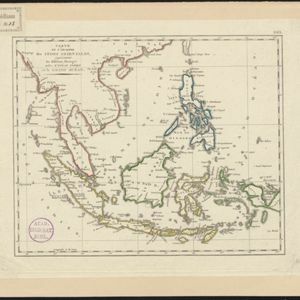
Carte de l'Archipel des Indes Orientales, représentant les différens passages entre l'Ocean Indien et le Grand Océan

eventc.1804

location_onBrunei, Cambodia, East Timor, Indonesia, Laos, Malaysia, Myanmar, Philippines, Singapore, Southeast Asia, Thailand, Vietnam

Map focusing on the passages between the islands of maritime Southeast Asia used to travel between the Indian and Pacific oceans. Includes the Strait of Malacca, many straits between the Sunda Islands, and a route through the Maluku Islands.
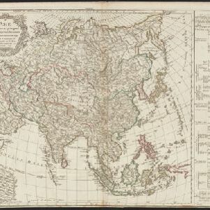
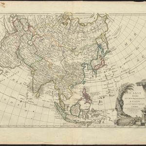
Asie divisée en ses principaux Etats, Empires & Royaumes

event1791

location_onBrunei, Cambodia, East Timor, Indonesia, Laos, Malaysia, Myanmar, Philippines, Singapore, Southeast Asia, Thailand, Vietnam

A late 18th century map of Asia, with notes on the principal states, empires and kingdoms of Asia written in French on the right-hand side.

L'Asie divisée en ses principaux Etats

eventc.1770

location_onBrunei, Cambodia, East Timor, Indonesia, Laos, Malaysia, Myanmar, Philippines, Singapore, Southeast Asia, Thailand, Vietnam

This map shows the empires and kingdoms of Asia. Its decorative cartouche features a drawing of a censer (incense burner) standing on a plinth, surrounded by patterned curtains and carpet. Magellan’s discovery of the Philippines is noted on the map.

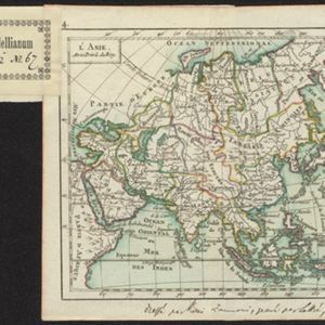
L'Asie

event1762

location_onBrunei, Cambodia, East Timor, Indonesia, Laos, Malaysia, Myanmar, Philippines, Singapore, Southeast Asia, Thailand, Vietnam

A hand-written note on the bottom margin of this map reads ‘Dressé par Rizzi Zannoni, gravé par Lattré, 1762’, indicating that it was drawn by the Italian cartographer Giovanni Antonio Rizzi Zannoni, and engraved by the French engraver Jean Lattré.

L'Asie Dressée Selon les Observations de Mrs. De l' Academie Royale des Sciences

event1749

location_onBrunei, Cambodia, East Timor, Indonesia, Laos, Malaysia, Myanmar, Singapore, Philippines, Southeast Asia, Thailand, Vietnam

Map of Asia based on observations of members of the French Academy of Sciences. Its decorative cartouche features a drawing of a censer (incense burner).

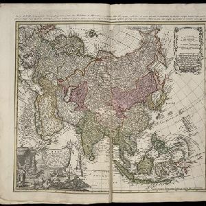
Asia secundum legitimas projectionis stereographicae regulas et juxta recentissimas observation et relationes = Carte de l'Asie, projettée stereographiquement, tirée des relations et observations

event1744

location_onBrunei, Cambodia, East Timor, Indonesia, Malaysia, Laos, Myanmar, Philippines, Singapore, Southeast Asia, Thailand, Vietnam

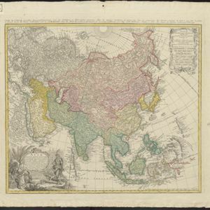
This mid-18th century map of Asia has a stereographic projection to aid navigation. An illustration features Asian men—probably merchants, one of whom sits on a throne—and a kneeling elephant.

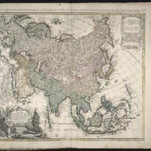
Asia secundum legitimas projectionis stereographicae regulas et juxta recentissimas observation et relationes = Carte de l'Asie, projettée stereographiquement, tirée des relations et observations

event1744

location_onBrunei, Cambodia, East Timor, Indonesia, Laos, Malaysia, Myanmar, Philippines, Singapore, Southeast Asia, Thailand, Vietnam

This mid-18th century map of Asia has a stereographic projection to aid in navigation. There is also an illustration featuring two Asian men depicted as native warriors, with a robed woman, as well as a large lizard.

Asia secundum legitimas projectionis stereographicae regulas et juxta recentissimas observation et relationes = Carte de l'Asie, projettée stereographiquement, tirée des relations et observations

event1744

location_onBrunei, Cambodia, East Timor, Indonesia, Laos, Malaysia, Myanmar, Philippines, Singapore, Southeast Asia, Thailand, Vietnam

This mid-18th century map of Asia has a stereographic projection to aid in navigation. There is also an illustration featuring two Asian men depicted as warriors, with a robed woman, as well as a large lizard.

close