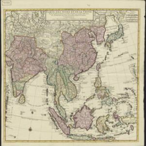
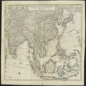
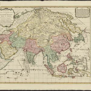
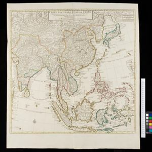
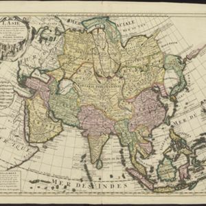
Partie de la nouvelle grande carte des Indes Orientales, contenant les isles Maldives, Ceylan, Malacca, Sumatra... les isles de Borneo, Iava, Celebes, Mindanao
c.1750
Brunei, East Timor, Indonesia, Malaysia, Papua New Guinea, Philippines, Singapore
Map of maritime Southeast Asia, with mountains, forests and settlements represented pictorially. The lower part of the map, which had six inset maps, has been cut off and is missing.