Search

Search Results

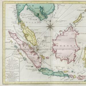
Carte des Isles de Java, Sumatra, Borneo &a. Les detroits de la Sunde, Malaca, et Banca, Golfe de Siam &a.

eventc.1772-1780

location_onBrunei, Cambodia, Indonesia, Malaysia, Philippines, Singapore, Thailand, Vietnam

This map shows the islands of Java, Sumatra and Borneo, the straits of Sunda, Malacca and Bangka, and the Gulf of Siam. The title is given in both French and Dutch, as are some of the place names on the map.

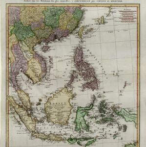
Carte d'une partie de la Chine, les Isles Philippines, de la Sonde, Moluques, de Papoesi, &c.

event1758

location_onBrunei, Cambodia, East Timor, Indonesia, Laos, Malaysia, Myanmar, Philippines, Singapore, Southeast Asia, Thailand, Vietnam

There are some labels on this mid-18th century map of Southeast Asia describing the local populations, including the Ke-moy, a ‘Nation sauvage [savage people]’ living in the mountains on the border of Cochinchine (Vietnam) and Camboja (Cambodia).

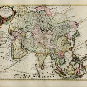
L'Asie dressée sur les observations de Mrs. de l'Academie Royale de Sciences

event1730

location_onBrunei, Cambodia, East Timor, Indonesia, Laos, Malaysia, Myanmar, Philippines, Singapore, Southeast Asia, Thailand, Vietnam

This map features maritime routes: between Siam and Batavia; and five routes of the explorers Juan Gaetan and Olivier du Nord (dated 1542) east of the Philippines. The cartouche has a colourful illustration of Asian people in traditional costume.

L'Asie dresse sur les observations de l'Academie Royale des Sciences, et quelques autres, et sur les memoires les plus recens

event1708

location_onBrunei, Cambodia, East Timor, Indonesia, Laos, Malaysia, Myanmar, Philippines, Singapore, Southeast Asia, Thailand, Vietnam

This early 18th century map of Asia features a note stating that there are new features on this map not seen on previous maps, and that this is not a mistake. The colourful cartouche features a column of Asian people riding on horses and camels.

Inde orientale

eventc.1700-1799

location_onBrunei, Cambodia, Indonesia, Laos, Malaysia, Myanmar, Philippines, Thailand, Vietnam

Four long rivers flow south through mainland Southeast Asia on this map: the ‘Menan’, ‘Manthabam’ and ‘Cosmin’ originate at a mythical lake (‘Chiamai Lac’) in southern China, while the ‘Mecon’ (Mekong) flows from the hills of Cochinchina (Vietnam).

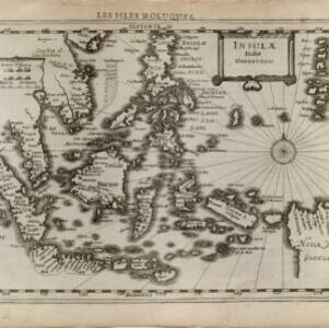
Insulæ Indiæ orientalis

event1630

location_onBrunei, Cambodia, East Timor, Indonesia, Laos, Malaysia, Myanmar, Philippines, Singapore, Southeast Asia, Thailand, Vietnam

The southern coast of Java ('Iava Maior') on this map is represented by a dotted line, indicating that the exact coastline was unknown at this time. French text on the reverse describes the geography, crops, animals etc. of the Maluku Islands.

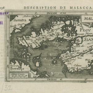
Malacca

event1616

location_onBrunei, Cambodia, Indonesia, Laos, Malaysia, Myanmar, Singapore, Thailand, Vietnam

French text on the back of this map of mainland Southeast Asia describes the kingdom of Pegu (Myanmar), its royal palace, ports and trade with Sumatra and Malacca (rice, butter, oil, salt, onions, silver, porcelain, quicksilver, copper, pewter etc.).

close

  • Filter from 1616 to 1772

Current results range from 1616 to 1772