Search Results
Filter
Language
French
Remove constraint Language: French
Simple Location
Malaysia
Remove constraint Simple Location: Malaysia
Simple Location
Philippines
Remove constraint Simple Location: Philippines
Sea Features
Reef
Remove constraint Sea Features: Reef
Sea Routes
Bathymetry
Remove constraint Sea Routes: Bathymetry
2 Results found

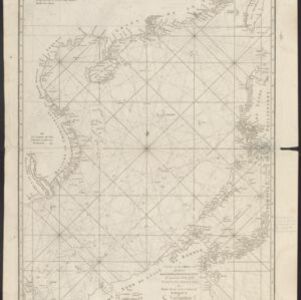
Chart of the China Sea
1746
Brunei, Cambodia, Indonesia, Malaysia, Philippines, Vietnam
This map features eight expedition routes across the South China Sea from 1752 to 1763. The web of lines is a rhumbline network, and bathymetry (sea depth) is marked. The place names are in French, but with an English title and notes.


