Search Results
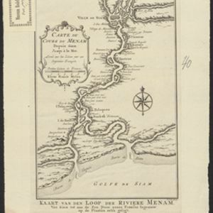
Carte du cours de la Riviere de Meinam: depuis Judia jusqu'à son embouchure
1730
Thailand
Map of the Meinam (Chao Phraya) river from the city of Judia (Ayutthaya) to its mouth near Bangkok. Features temples, villages, a Bishop's Palace, a fort at Bangkok, and a ‘Champ des Eléphans [Elephant Field]’. The text is in French and Dutch.
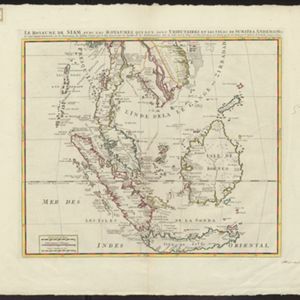
Le Royaume de Siam avec les Royaumes qui luy sont Tributaires et les Isles de Sumatra, Andemaon etc.
1719
Brunei, Cambodia, Indonesia, Laos, Malaysia, Myanmar, Singapore, Thailand, Vietnam
Map of part of Southeast Asia, featuring a maritime route from the Sunda Strait to the ports of Bantam (Banten) and Batavia (Jakarta) on Java, and then up through the Gulf of Thailand to the Kingdom of Siam. The return route is also marked.
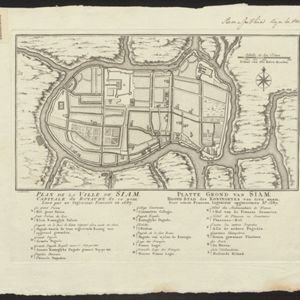
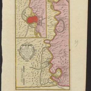
Plan de la Ville de Siam: Capitale du Royaume de ce nom = Platte grond van Siam: Hoofd stad des Koningryks van dien' naam
1687
Thailand
Map of the Siamese city of Ayutthaya (‘Ville de Siam’), surrounded by the Menam River (Chao Phraya River). Roads and buildings are marked, including a number of royal palaces and pagodas, which are listed on the Dutch and French-language legend.
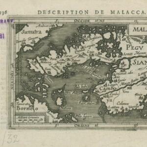
Malacca
1616
Brunei, Cambodia, Indonesia, Laos, Malaysia, Myanmar, Singapore, Thailand, Vietnam
French text on the back of this map of mainland Southeast Asia describes the kingdom of Pegu (Myanmar), its royal palace, ports and trade with Sumatra and Malacca (rice, butter, oil, salt, onions, silver, porcelain, quicksilver, copper, pewter etc.).

