Search

Search Results

Neueste Karte von Hinter Indien

event1860

location_onCambodia, Laos, Malaysia, Myanmar, Singapore, Thailand, Vietnam

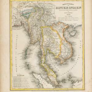
The borders on this mid-19th century map of mainland Southeast Asia are colour-coded to show kingdoms, countries and colonial territories. Twelve different scales are shown, as different countries used different measurement systems.

Karte von der Insel Sumatra

event1837

location_onSingapore, Indonesia, Malaysia

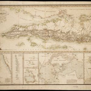
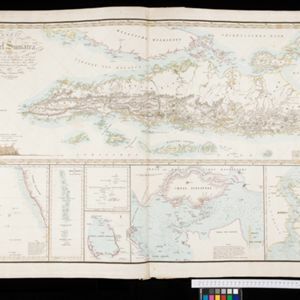
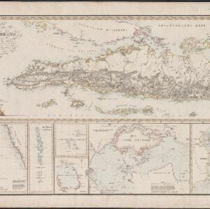
Based on surveys by Sir Stamford Raffles, this German map of Sumatra focuses on the navigation of coasts and straits, with bathymetry (sea depth), anchor points, shoals and reefs marked, including on inset maps of Singapore and the Bangka Strait.

Karte von der Insel Sumatra

event1837

location_onMalaysia, Indonesia, Singapore

Based on surveys by Sir Stamford Raffles, this German map of Sumatra focuses on the navigation of coasts and straits, with bathymetry (sea depth), anchor points, shoals and reefs marked, including on inset maps of Singapore and the Bangka Strait.

close