Search

Search Results

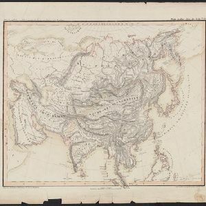
Oro- und hydrographische Karte von Asien nach Berghaus

event1845

location_onBrunei, Cambodia, Indonesia, Laos, Malaysia, Myanmar, Philippines, Singapore, Southeast Asia, Thailand, Vietnam

This title of this map refers to orography (which is shown in the use of hachures, short lines/dashes that give a sense of the shape and steepness of terrain) and hydrography (which is shown in the highlighting of coastal regions, shoals and reefs).

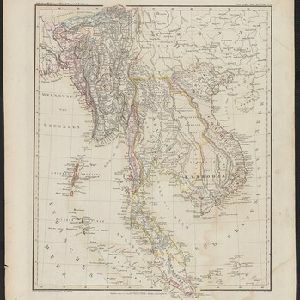
Hinter Indien

event1845

location_onIndonesia, Singapore, Malaysia, Thailand, Vietnam, Myanmar, Laos, Cambodia

A mid-19th century German map of mainland Southeast Asia showing a mixture of ancient kingdoms (e.g. Cochin-China), administrative districts (Malay States) and colonial possessions (Straits Settlements). Extensive mountainous areas are also featured.

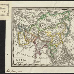
Asia

eventc.1845

location_onBrunei, Cambodia, East Timor, Indonesia, Laos, Malaysia, Myanmar, Philippines, Singapore, Southeast Asia, Thailand, Vietnam

Map of Asia divided into regions with coloured borders. Mainland Southeast Asia is in green, and features the ancient kingdoms of Birma (Myanmar), Siam (Thailand) and An-nam (Vietnam).

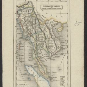
Birmanen Reich mit Anam, Siam & Cochin China

eventc.1840

location_onCambodia, Indonesia, Laos, Malaysia, Myanmar, Singapore, Thailand, Vietnam

This mid-19th century map of mainland Southeast Asia is divided into regions with colour-coded borders. The Birman Empire/Birmah (Myanmar) is the most detailed, with 10 provinces marked and listed in the map’s legend.

Asien

eventc.1840

location_onBrunei, Cambodia, Indonesia, Laos, Malaysia, Myanmar, Papua New Guinea, Philippines, Singapore, Southeast Asia, Thailand, Vietnam

On this map of Asia, colours are used to show the colonial territories of the European powers: cities in the Philippines are underlined in blue, indicating they are Spanish; the Dutch East Indies are in yellow (Dutch); and Singapore is red (British).

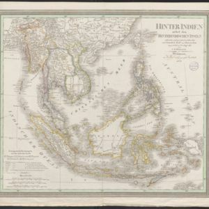
Hinter Indien nebst den Hinterindischen Inseln

event1836

location_onCambodia, East Timor, Indonesia, Laos, Malaysia, Myanmar, Brunei, Philippines, Singapore, Southeast Asia, Thailand, Vietnam

Coloured borders identify the colonial possessions of Britain, the Netherlands, Spain, Denmark and Portugal in mid-19th century Southeast Asia. Cities are marked with symbols indicating population, and military forts are marked with star symbols.

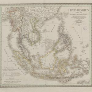
Hinter Indien nebst den Hinterindischen Inseln

event1836

location_onBrunei, Cambodia, East Timor, Indonesia, Laos, Malaysia, Myanmar, Philippines, Singapore, Southeast Asia, Thailand, Vietnam

Coloured borders identify the colonial possessions of Britain, the Netherlands, Spain, Denmark and Portugal in mid-19th century Southeast Asia. Cities are marked with symbols indicating population, and military forts are marked with star symbols.

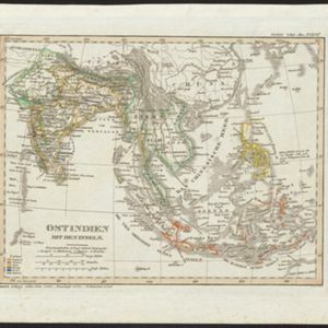
Ost-Indien mit den Inseln

eventc.1835

location_onBrunei, Cambodia, East Timor, Indonesia, Laos, Malaysia, Myanmar, Philippines, Singapore, Southeast Asia, Thailand, Vietnam

On this map of India and Southeast Asia, borders are outlined and cities underlined in different colours to show the colonial territories of the European powers. On Borneo, the names of indigenous peoples are listed (‘Dayak’s, Papua’s, Bugi’s’).

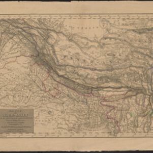
Karte von Hoch-Asien: zu C. Ritter's Erdkunde, Buch II, Asien

event1833

location_onMyanmar

Four-sheet map of Asia from Carl Ritter’s book ‘Erdkunde [Geography]’, including the northwest Birman Empire (Myanmar) and featuring rivers, mountains, administrative districts and settlements. Plus a page of elevations of Asian mountain ranges.

close