Search

Search Results

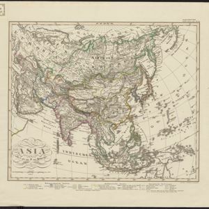
Asien

eventc.1850

location_onBrunei, Cambodia, East Timor, Indonesia, Laos, Malaysia, Myanmar, Papua New Guinea, Philippines, Singapore, Southeast Asia, Thailand, Vietnam

On this map of Asia, colours are used to show the colonial territories of the European powers, and to show Muslim and Buddhist regions: Sumatra is divided between the Netherlands and local rulers; the Straits Settlements underlined in red (British).
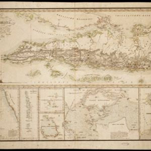
Karte von der Insel Sumatra

event1837

location_onMalaysia, Indonesia, Singapore

Based on surveys by Sir Stamford Raffles, this German map of Sumatra focuses on the navigation of coasts and straits, with bathymetry (sea depth), anchor points, shoals and reefs marked, including on inset maps of Singapore and the Bangka Strait.

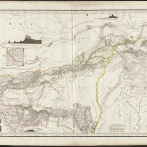
Karte von Assam: und seinen Nachbar-Ländern

event1834

location_on-

Map of Assam, including India’s border with northwest Birma (Myanmar) where indigenous lands/peoples are marked (Singphos, Naga, Kasi-Schan, Thai-Lung) e.g. ‘These mountainous landscapes are inhabited by the Naga tribes [translation from map text]’.

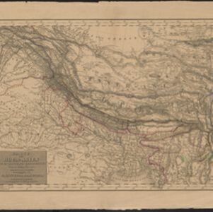
Karte von Hoch-Asien: zu C. Ritter's Erdkunde, Buch II, Asien

event1833

location_onMyanmar

Four-sheet map of Asia from Carl Ritter’s book ‘Erdkunde [Geography]’, including the northwest Birman Empire (Myanmar) and featuring rivers, mountains, administrative districts and settlements. Plus a page of elevations of Asian mountain ranges.

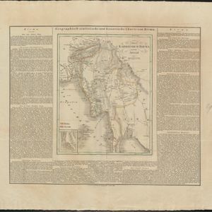
Das Kaiserthum Birma nebst Assam

event1825

location_onMyanmar, Malaysia, Thailand

Map of the Birman Empire and Assam (modern Myanmar) with detailed text describing the region’s geography, culture, population, religion, government and history. There is an inset map highlighting Burmese islands off the coast of the Malay Peninsula.

close

  • Filter from 1825 to 1850

Current results range from 1825 to 1850