Search

Search Results

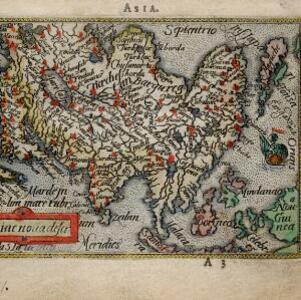
Asiae noŭa descr

eventc.1588-1590

location_onBrunei, Cambodia, Indonesia, Laos, Malaysia, Myanmar, Philippines, Singapore, Southeast Asia, Thailand, Vietnam

This late 16th century map by Abraham Ortelius features a network of mythical lakes that were once thought to exist in China, and which feed several rivers that flow south through mainland Southeast Asia.

Moluccæ insulæ

event1602

location_onIndonesia

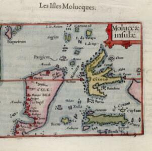
This early 17th century map features Gilolo (Halmahera) and Seram, as well as Celebes (Sulawesi). French text on the reverse describes the ‘Isles Molucques’ (Maluku Islands), including trade in nutmeg, mace, aloe, cinnamon, ginger, pepper and cloves.

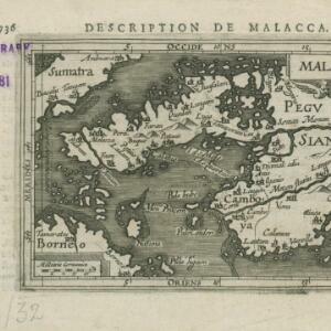
Malacca

event1616

location_onBrunei, Cambodia, Indonesia, Laos, Malaysia, Myanmar, Singapore, Thailand, Vietnam

French text on the back of this map of mainland Southeast Asia describes the kingdom of Pegu (Myanmar), its royal palace, ports and trade with Sumatra and Malacca (rice, butter, oil, salt, onions, silver, porcelain, quicksilver, copper, pewter etc.).

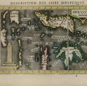
Moluccæ insulæ

event1618

location_onIndonesia, East Timor

Unusually, north is located to the right of this early 17th century map of the Maluku Islands, rather than the top. The scale is shown on a stone monument. French text on the reverse describes Java.

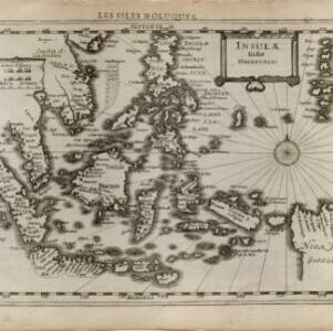
Insulæ Indiæ orientalis

event1630

location_onBrunei, Cambodia, East Timor, Indonesia, Laos, Malaysia, Myanmar, Philippines, Singapore, Southeast Asia, Thailand, Vietnam

The southern coast of Java ('Iava Maior') on this map is represented by a dotted line, indicating that the exact coastline was unknown at this time. French text on the reverse describes the geography, crops, animals etc. of the Maluku Islands.

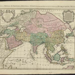
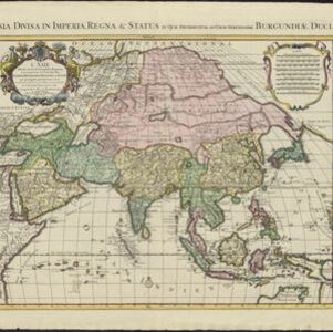
L'Asie diuisée en ses Empires, Royaumes, et Estats = Asia divisa in Imperia, Regna & Status

event1694

location_onBrunei, Cambodia, East Timor, Indonesia, Laos, Malaysia, Myanmar, Philippines, Singapore, Southeast Asia, Thailand, Vietnam

This map shows the empires, kingdoms and states of Southeast Asia. Its decorative cartouche features drawings of two women—one with a cornucopia and one with a censer (incense burner)—elephant heads, and a French coat of arms. Nine scales are shown.

L'Asie divisée en ses principales regions, et ou se peuvent voir l'estendue des Empires, Monarchies, Royaumes, et Estats qui partagent présentement l'Asie

eventc.1700

location_onBrunei, Cambodia, East Timor, Indonesia, Laos, Malaysia, Myanmar, Papua New Guinea, Philippines, Singapore, Southeast Asia, Thailand, Vietnam

This map shows the empires, kingdoms and states of Southeast Asia. Its decorative cartouche features drawings of two women—one with a cornucopia and one with a censer (incense burner)—elephant heads, and a French coat of arms. Nine scales are shown.

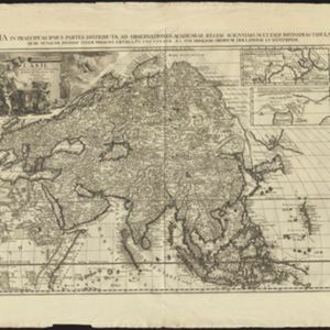
L'Asie, selon les nouvelles observations de Messrs. de l'Academie des Sciences

event1713

location_onBrunei, Cambodia, East Timor, Indonesia, Laos, Malaysia, Myanmar, Philippines, Singapore, Southeast Asia, Thailand, Vietnam

This early 18th century map of Asia features a drawing of a woman burning offerings on an altar, while two children carry cornucopias, and a camel looks on. The Roman god Mercury descends from the sky in the background wearing his winged helmet.

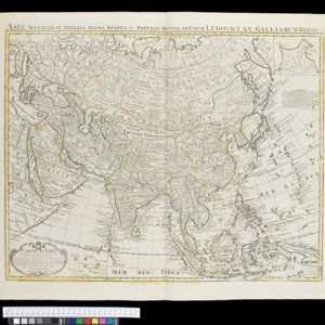
Carte d'Asie: dressée sur les memoires envoyéz par le Czar a l'Academie Royale des Science

eventc.1722-1774

location_onBrunei, Cambodia, East Timor, Indonesia, Laos, Malaysia, Myanmar, Philippines, Singapore, Southeast Asia, Thailand, Vietnam

An early 18th century map of Asia by the French cartographer Guillaume Delisle (1675–1726). Regions are indicated with coloured borders, and the southern part of Borneo is labelled ‘Côte de Mahometans [Coast of the Muslims]’.

close