Search

Search Results

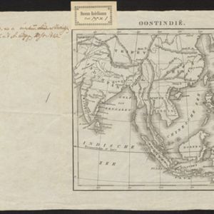
Oostindië

event1842

location_onBrunei, Cambodia, East Timor, Indonesia, Laos, Malaysia, Myanmar, Philippines, Singapore, Southeast Asia, Thailand, Vietnam

Dutch map of the East Indies, with mountain ranges represented by simple hachure marks, and just a few rivers marked. Mainland Southeast Asia is labelled ‘Achter Indie [Beyond India]’.
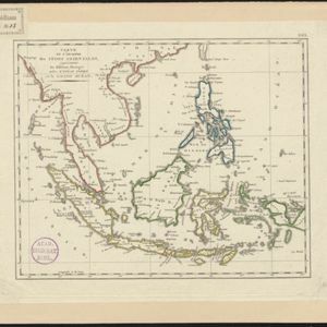
Carte de l'Archipel des Indes Orientales, représentant les différens passages entre l'Ocean Indien et le Grand Océan

eventc.1804

location_onBrunei, Cambodia, East Timor, Indonesia, Laos, Malaysia, Myanmar, Philippines, Singapore, Southeast Asia, Thailand, Vietnam

Map focusing on the passages between the islands of maritime Southeast Asia used to travel between the Indian and Pacific oceans. Includes the Strait of Malacca, many straits between the Sunda Islands, and a route through the Maluku Islands.

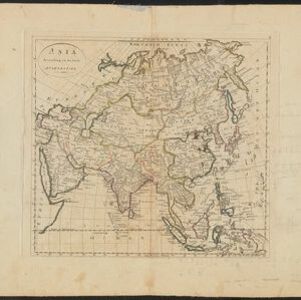
Asia, according to the best Authorities

event1800

location_onBrunei, Cambodia, East Timor, Indonesia, Laos, Malaysia, Myanmar, Philippines, Singapore, Southeast Asia, Thailand, Vietnam

A late 18th century map of Asia with regions divided by colour-coded borders, and detailing rivers, mountains, reefs and shoals.

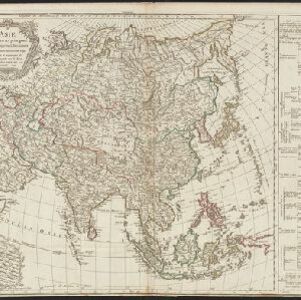
Asie divisée en ses principaux Etats, Empires & Royaumes

event1791

location_onBrunei, Cambodia, East Timor, Indonesia, Laos, Malaysia, Myanmar, Philippines, Singapore, Southeast Asia, Thailand, Vietnam

A late 18th century map of Asia, with notes on the principal states, empires and kingdoms of Asia written in French on the right-hand side.

An Accurate Map of Asia

event1783

location_onBrunei, Cambodia, East Timor, Indonesia, Laos, Malaysia, Myanmar, Philippines, Singapore, Southeast Asia, Thailand, Vietnam

From the first volume of John Seally’s ‘A Complete Geographical Dictionary’, this map of Asia includes the ancient kingdoms of mainland Southeast Asia, and the Sunda and Molucca islands (‘Molucca or Spice Islands’) of maritime Southeast Asia.

Nieuwe generale kaart van Asia: Volgens de laatste ontdekkingen van Cook

eventc.1780

location_onBrunei, Cambodia, East Timor, Indonesia, Laos, Malaysia, Myanmar, Philippines, Singapore, Southeast Asia, Thailand, Vietnam

Map of Asia based—according to the subtitle—on discoveries by the British Royal Navy captain James Cook. It includes Batavia (Jakarta) where he visited in 1770, and the South China Sea through which his ship Resolution sailed after his death in 1779.

A map of the East Indies, from the best authorities

event1780

location_onBrunei, Cambodia, East Timor, Indonesia, Laos, Malaysia, Myanmar, Philippines, Singapore, Southeast Asia, Thailand, Vietnam

On this map of Asia, Borneo is labelled ‘The Inland Part of this Island is inhabited by the Biayos a savage People’, a description seen on many contemporary maps. The ancient kingdoms of mainland Southeast Asia are also shown.

Nieuwe en Naukeurige Kaart der Oost-Indische Eilanden

event1774

location_onBrunei, Cambodia, East Timor, Indonesia, Laos, Malaysia, Myanmar, Philippines, Singapore, Southeast Asia, Thailand, Vietnam

Some regions on this map of Southeast have a descriptive label: New Guinea is described as unknown to Europeans; Borneo was abandoned by Europeans due to the ‘unmanageability’ of the inhabitants; the Philippines were discovered by Spain in 1565.

close