Search

Search Results

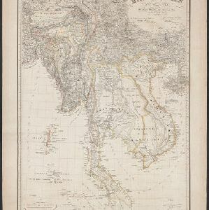
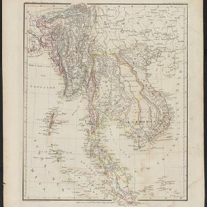
Hinter Indien

event1845

location_onIndonesia, Singapore, Malaysia, Thailand, Vietnam, Myanmar, Laos, Cambodia

A mid-19th century German map of mainland Southeast Asia showing a mixture of ancient kingdoms (e.g. Cochin-China), administrative districts (Malay States) and colonial possessions (Straits Settlements). Extensive mountainous areas are also featured.

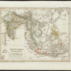
Ost-Indien mit den Inseln

eventc.1835

location_onBrunei, Cambodia, East Timor, Indonesia, Laos, Malaysia, Myanmar, Philippines, Singapore, Southeast Asia, Thailand, Vietnam

On this map of India and Southeast Asia, borders are outlined and cities underlined in different colours to show the colonial territories of the European powers. On Borneo, the names of indigenous peoples are listed (‘Dayak’s, Papua’s, Bugi’s’).

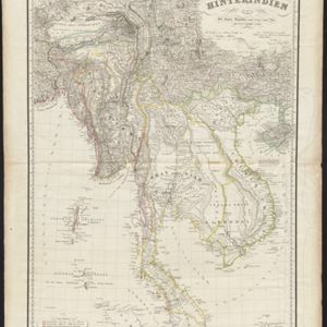
Hinterindien

event1832

location_onIndonesia, Malaysia, Singapore, Cambodia, Vietnam, Thailand, Myanmar, Laos

A mid-19th century German map of mainland Southeast Asia showing a mixture of ancient kingdoms (e.g. Birma, Siam, Anam) and the colonial possessions of Britain (Malaya, Straits Settlements) and Denmark (Nicobar Islands).

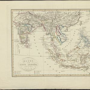
Kaart van Oost Indiën: behoorende bij Olivier Land- en zeetogten

event1830

location_onBrunei, Cambodia, East Timor, Indonesia, Laos, Malaysia, Myanmar, Philippines, Singapore, Southeast Asia, Thailand, Vietnam

Map from Johannes Olivier’s book ‘Land- en Zeetogten in Nederland's Indie [Land and Sea Journeys in the Dutch Indies]’, showing European colonial possessions and indigenous kingdoms in Asia.

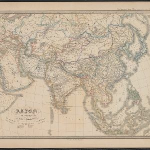
Asien am Ausgange des XVIIten Jahrhunderts

eventc.1800-1899

location_onBrunei, Cambodia, East Timor, Indonesia, Laos, Malaysia, Myanmar, Philippines, Singapore, Southeast Asia, Thailand, Vietnam

This map of Asia, from an atlas by the German cartographer Karl von Spruner, is colour-coded to show the colonial possessions of the European powers—Netherlands, Portugal, Spain, France, Britain and Denmark—at the end of the 17th century.

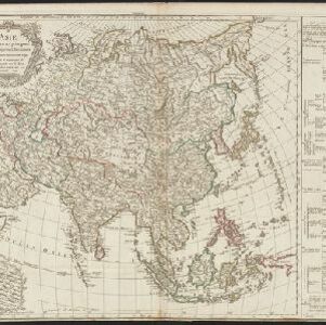
Asie divisée en ses principaux Etats, Empires & Royaumes

event1791

location_onBrunei, Cambodia, East Timor, Indonesia, Laos, Malaysia, Myanmar, Philippines, Singapore, Southeast Asia, Thailand, Vietnam

A late 18th century map of Asia, with notes on the principal states, empires and kingdoms of Asia written in French on the right-hand side.

Nieuwe en Naukeurige Kaart der Oost-Indische Eilanden

event1774

location_onBrunei, Cambodia, East Timor, Indonesia, Laos, Malaysia, Myanmar, Philippines, Singapore, Southeast Asia, Thailand, Vietnam

Some regions on this map of Southeast have a descriptive label: New Guinea is described as unknown to Europeans; Borneo was abandoned by Europeans due to the ‘unmanageability’ of the inhabitants; the Philippines were discovered by Spain in 1565.

close