Search

Search Results

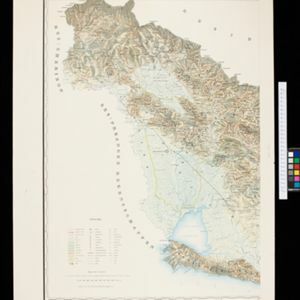
Topographische Kaart van de residentie Banjoemas

event1892

location_onIndonesia

The residency of Banjoemas (Banyumas), Central Java, featuring plantations (bamboo, teakwood, coconut, coffee, cinnamon) and rice; routes (road, postal, railway), administrative borders; mountains, rivers, wetlands, forests.

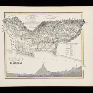
Kaart van de Residentie Banjoemas

event1857

location_onIndonesia

Map of the Dutch colonial administrative region (residency) of Banjoemas (Banyumas, Java), including an elevation showing the heights of the area’s mountains. (From ‘Algemeene Atlas van Nederlandsche Indie [General Atlas of the Dutch East Indies]’.)

close

  • Filter from 1857 to 1892

Current results range from 1857 to 1892