Search

Search Results

Nederland en deszelfs koloniën

event1844

location_onBrunei, East Timor, Indonesia, Malaysia, Singapore

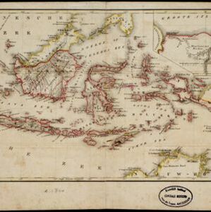
Map of the East Indies, with the borders of Dutch colonial territory marked in brown. The Malay Peninsula (‘Malakka’) has green borders, indicating it is a British possession. Four inset maps show other Dutch territories outside Southeast Asia.

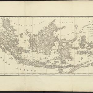
Kaart van Nederlands Oostindische bezittingen

event1843

location_onMalaysia, Singapore, Indonesia, East Timor

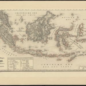
Map of Dutch colonial possessions in maritime Southeast Asia, labelled with the names of administrative areas. Mountains are represented by hachures, short lines/dashes that give a sense of the shape and steepness of terrain.

Nederlandsch Oost-Indië

event1840

location_onBrunei, East Timor, Indonesia, Malaysia, Papua New Guinea, Philippines, Singapore

The Dutch East Indies are bordered in red on this mid-19th century map. A maritime postal route from China to Europe, via Singapore and Penang, is shown. Another maritime route, from Batavia to Singapore, is also marked.

Kaart der Nederlandsche bezittingen in Oostindien = Possessions hollanaises aux Indes Orientales

event1840

location_onBrunei, East Timor, Indonesia, Malaysia, Singapore

Map of Dutch colonial territory in Southeast Asia, including the administrative areas of Java and Madura. Two maritime routes are marked from Batavia to the Maluku Islands: of the brig ‘Douga’ in 1825, and by Baron Godert van der Capellen in 1824.

Hinter Indien nebst den Hinterindischen Inseln

event1836

location_onCambodia, East Timor, Indonesia, Laos, Malaysia, Myanmar, Brunei, Philippines, Singapore, Southeast Asia, Thailand, Vietnam

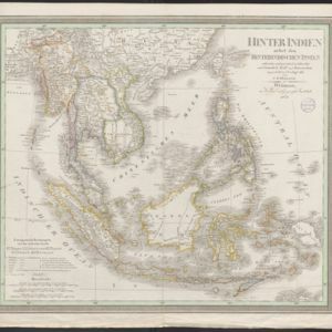
Coloured borders identify the colonial possessions of Britain, the Netherlands, Spain, Denmark and Portugal in mid-19th century Southeast Asia. Cities are marked with symbols indicating population, and military forts are marked with star symbols.

Hinter Indien nebst den Hinterindischen Inseln

event1836

location_onBrunei, Cambodia, East Timor, Indonesia, Laos, Malaysia, Myanmar, Philippines, Singapore, Southeast Asia, Thailand, Vietnam

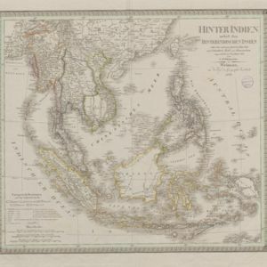
Coloured borders identify the colonial possessions of Britain, the Netherlands, Spain, Denmark and Portugal in mid-19th century Southeast Asia. Cities are marked with symbols indicating population, and military forts are marked with star symbols.

Asien 1831

event1831

location_onBrunei, Cambodia, East Timor, Indonesia, Laos, Malaysia, Myanmar, Papua New Guinea, Philippines, Singapore, Southeast Asia, Thailand, Vietnam

On this map of Asia, borders are outlined and cities underlined in different colours to show the colonial territories of the European powers: Russian, British, Dutch, French, Spanish, Portuguese and Danish.

Carte du Grand Archipel d'Asie (Partie Nord-ouest de l'Océanie)

event1826

location_onSoutheast Asia, Malaysia, Indonesia, Vietnam

Colonial possessions of the Dutch, Spanish and Portuguese, as well as lands of ‘indigenous princes’ are marked with coloured borders on this map of maritime Southeast Asia. Hot springs and mineral water springs in Java are also listed.

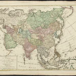
Asien nach den neusten und besten Hülfsmitteln entworffen und herausgegeben im Jahre 1793

event1793

location_onBrunei, Cambodia, East Timor, Indonesia, Laos, Malaysia, Myanmar, Papua New Guinea, Philippines, Singapore, Southeast Asia, Thailand, Vietnam

On this map of Asia, borders are outlined and cities underlined in different colours to show the colonial territories of the European powers: e.g. at this time, Benkulen (Bencoolen) on the west coast of Sumatra is British, and Malacca is Dutch.

close