Search

Search Results

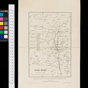
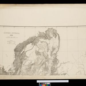
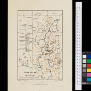
Upper Burma: With additions and corrections to 1896

event1896

location_onMyanmar

Map of Upper Burma divided into Divisions and Districts, and featuring the Irrawaddy and Chindwin rivers, the Burma State Railway, and settlements including the city of Mandalay.

Route chart to India and the East

event1895

location_onBrunei, Cambodia, East Timor, Indonesia, Laos, Malaysia, Myanmar, Philippines, Singapore, Southeast Asia, Thailand, Vietnam

Map of Asia featuring steamship routes—including around Southeast Asia—connecting ports such as Penang, Singapore, Batavia (Jakarta), Saigon, Bangkok, Rangun (Yangon), Manila, Macassar (Makassar) etc. There is also an inset map of Singapore.
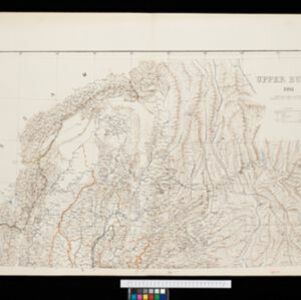
Upper Burma

event1895

location_onMyanmar, Thailand

Map of Upper Burma, showing the borders with Assam (India), China and Siam (Thailand), as well as internal administrative borders. Mountains with their heights, settlements, rivers and railways (completed, proposed and under construction) are shown.

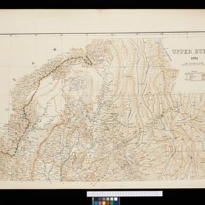
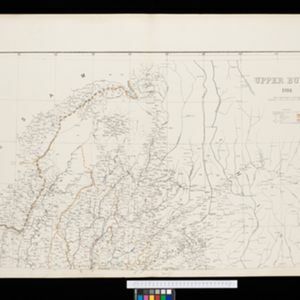
Upper Burma

event1894

location_onMyanmar, Thailand

Map of Upper Burma, showing the borders with Assam (India), China and Siam (Thailand), as well as internal administrative borders. Mountains with their heights, settlements, rivers and railways (completed, proposed and under construction) are shown.

Upper Burma: With additions and corrections to January 1894

event1894

location_onMyanmar

Map of Upper Burma divided into Divisions and Districts, and featuring the Irrawaddy and Chindwin rivers, the Burma State Railway, and settlements including the city of Mandalay.

Upper Burma

event1893

location_onMyanmar, Thailand

Map of Upper Burma, showing the borders with Assam (India), China and Siam (Thailand), as well as internal administrative borders. Mountains with their heights, settlements, rivers and railways (completed, proposed and under construction) are shown.

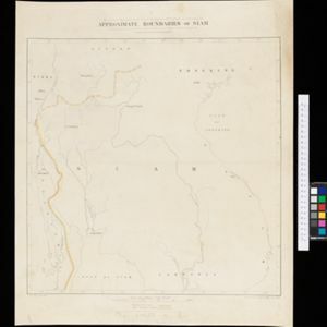
Facsimile of map given to the French Ambassador 29th Aug. 1889 as indicating the Approximate Boundaries of Siam to the North West & North such as they have hitherto been considered

event1893

location_onCambodia, Laos, Myanmar, Thailand, Vietnam

The border between Siam (Thailand) and Tenasserin (Tanintharyi Region, Myanmar) is highlighted on this map, while the more northerly border between Siam and Burma (Myanmar) is marked as being ‘approximate’.

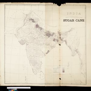
India: Sugar cane

event1893

location_onMyanmar

On this map of India and Burma (Myanmar), shading indicates what percentage of each province is used for the cultivating sugarcane. Part of a series of maps of the same area showing different crops (others include cotton and rice).

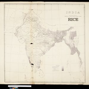
India: Rice

event1893

location_onMyanmar

On this map of India and Burma (Myanmar), shading indicates what percentage of each province is used for the cultivating rice. Part of a series of maps of the same area showing different crops (others include cotton and sugarcane).

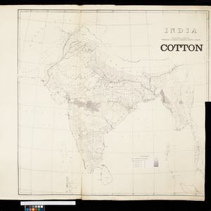
India: Cotton

event1893

location_onMyanmar

On this map of India and Burma (Myanmar), shading indicates what percentage of each province is used for the cultivating cotton. Part of a series of maps of the same area showing different crops (others include rice and sugarcane).

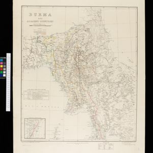
Burma and adjacent countries

event1892

location_onMyanmar, Thailand

The regional and national borders of Burma and Siam are hand-coloured on this map. Provinces, districts and states within Burma are also highlighted, and itemised in a separate list.

close