Search

Search Results

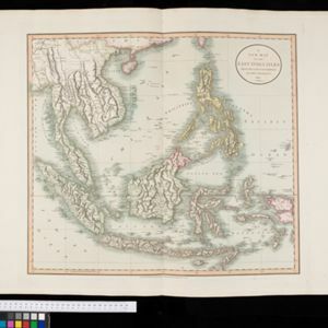
A new map of the East India Isles

event1801

location_onBrunei, Cambodia, East Timor, Indonesia, Laos, Malaysia, Myanmar, Vietnam, Thailand, Southeast Asia, Singapore, Philippines

An early 19th century map by the English cartographer John Cary, highlighting the mountain ranges and rivers of Southeast Asia. The map also features many place names of cities, towns and islands.

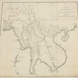
A sketch of the Birman Empire: from a Map of India extra Ganjem

event1800

location_onCambodia, Laos, Myanmar, Thailand, Vietnam

This map from 1800 is by the Scottish cartographer Alexander Dalrymple, who was the first Hydrographer of the British Admiralty. It documents the river systems of the Birman Empire (Myanmar) and modern Thailand, Laos, Cambodia and Vietnam.

Asia / engraved for Walkers Geography &c.

event1792

location_onBrunei, Cambodia, East Timor, Indonesia, Laos, Malaysia, Myanmar, Papua New Guinea, Philippines, Singapore, Southeast Asia, Thailand, Vietnam

Hand-drawn coloured borders have been added to this map to distinguish various regions: mainland Southeast Asia and most of the islands of maritime Southeast Asia are bordered in green, with Borneo and the Philippines in red.

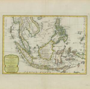
The East India Islands: comprehending the Isles of Sunda, the Moluccas and the Philippine Islands

event1789

location_onBrunei, Cambodia, East Timor, Indonesia, Laos, Malaysia, Myanmar, Philippines, Singapore, Southeast Asia, Thailand, Vietnam

Labels on this late 18th century map of Southeast Asia describe two indigenous populations—the ‘Kemoy’ of the mountains along the border of Cochin China (Vietnam) and Camboja (Cambodia), and the ‘Biayos’ of central Borneo—as ‘a wild Nation’.

An Accurate Map of Asia

event1783

location_onBrunei, Cambodia, East Timor, Indonesia, Laos, Malaysia, Myanmar, Philippines, Singapore, Southeast Asia, Thailand, Vietnam

From the first volume of John Seally’s ‘A Complete Geographical Dictionary’, this map of Asia includes the ancient kingdoms of mainland Southeast Asia, and the Sunda and Molucca islands (‘Molucca or Spice Islands’) of maritime Southeast Asia.

A map of the East Indies, from the best authorities

event1780

location_onBrunei, Cambodia, East Timor, Indonesia, Laos, Malaysia, Myanmar, Philippines, Singapore, Southeast Asia, Thailand, Vietnam

On this map of Asia, Borneo is labelled ‘The Inland Part of this Island is inhabited by the Biayos a savage People’, a description seen on many contemporary maps. The ancient kingdoms of mainland Southeast Asia are also shown.

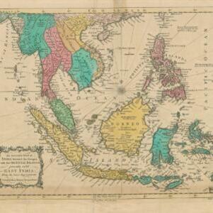
An Accurate map of India beyond the Ganges with the oriental islands, generally called East India

event1780

location_onBrunei, Cambodia, East Timor, Indonesia, Laos, Malaysia, Myanmar, Philippines, Singapore, Southeast Asia, Thailand, Vietnam

This map uses colour to identify regions in late 18th century Southeast Asia, many of which roughly correspond to modern countries: Pegu=Myanmar, Tonkin/Cochin China=Vietnam, Lao =Laos, Siam=Thailand, Malaya=Malaysia, Philippin Islands=Philippines.

To the Right Honourable William, Lord Cowper, Lord High Chancellor of Great Britain, this map of Asia

eventc.1715

location_onVietnam, Myanmar, Papua New Guinea, Philippines, Singapore, Southeast Asia, Thailand, Malaysia, Laos, Indonesia, East Timor, Cambodia, Brunei

The arrows on this map show the direction of the seasonal monsoons: each arrow has a label, indicating the month. The northeast coast of Borneo is labelled ‘A Desart [desert/deserted?] Coast’, while the south is labelled ‘Pepper Country’.

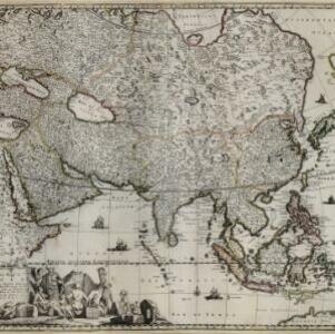
A new mapp of Asia: divided into kingdoms & provinces

event1690

location_onBrunei, Cambodia, East Timor, Indonesia, Laos, Malaysia, Myanmar, Philippines, Singapore, Southeast Asia, Thailand, Vietnam

A detailed late 17th century map of Asia, showing ancient kingdoms and the place names of important settlements. The cartouche features a drawing of Asian traders selling their goods, while a camel, monkey and two birds look on.

close