Search

Search Results

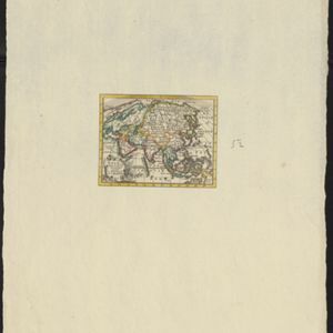
Asia volgens de nieuwste waarnemingen opgesteld

eventc.1790

location_onBrunei, Cambodia, East Timor, Indonesia, Laos, Malaysia, Myanmar, Philippines, Singapore, Southeast Asia, Thailand, Vietnam

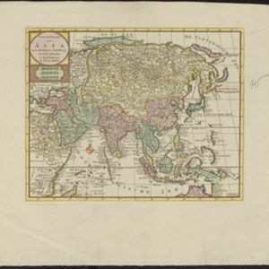
A simple hand-coloured map of Asia, with a cartouche of shell, leaves and plants. It shows that in the late 18th century, the details of New Guinea and Australia (‘Nieuw Holland’) were uncertain.
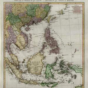
Carte d'une partie de la Chine, les Isles Philippines, de la Sonde, Moluques, de Papoesi, &c.

event1758

location_onBrunei, Cambodia, East Timor, Indonesia, Laos, Malaysia, Myanmar, Philippines, Singapore, Southeast Asia, Thailand, Vietnam

There are some labels on this mid-18th century map of Southeast Asia describing the local populations, including the Ke-moy, a ‘Nation sauvage [savage people]’ living in the mountains on the border of Cochinchine (Vietnam) and Camboja (Cambodia).

Nuova carta dell' India di là del Fiume Ganges overo di Malacca, Siam, Cambodia, Chiampa, Kochinchina, Laos, Pegu, Ava &c.

event1740

location_onBrunei, Cambodia, Indonesia, Laos, Malaysia, Myanmar, Singapore, Thailand, Vietnam, Southeast Asia

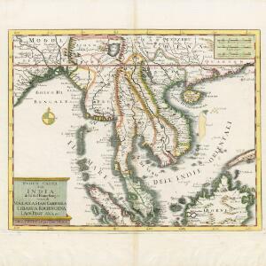
Based on a map by Guillaume Delisle, this map of Southeast Asia shows mountains and settlements pictorially, with larger cities also coloured red. Regional borders are colour-coded, as are some internal borders on the Malay Peninsula.

Nieuwe kaart van Asia na de alderlaatste ondekking int licht gebracht

event1733

location_onBrunei, Cambodia, East Timor, Indonesia, Laos, Malaysia, Myanmar, Papua New Guinea, Philippines, Singapore, Southeast Asia, Thailand, Vietnam

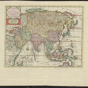
Map of Asia showing New Guinea (‘Nieuw Guinee’) and Australia (‘Nieuw Holland’) as one landmass, demonstrating that there was some uncertainty about the area’s geography in the early 18th century. However, it does include New Britain (‘N. Bretanje’).

Nieuwe kaart van Asia na de alderlaatste ondekking int licht gebracht

event1733

location_onBrunei, Cambodia, East Timor, Indonesia, Laos, Malaysia, Myanmar, Papua New Guinea, Singapore, Philippines, Southeast Asia, Thailand, Vietnam

Map of Asia showing New Guinea (‘Nieuw Guinee’) and Australia (‘Nieuw Holland’) as one landmass, demonstrating that there was some uncertainty about the area’s geography in the early 18th century. However, it does include New Britain (‘N. Bretanje’).

Nieuwe kaart van Asia na de alderlaatste ondekking int licht gebracht

event1733

location_onBrunei, Cambodia, East Timor, Indonesia, Laos, Malaysia, Myanmar, Papua New Guinea, Philippines, Singapore, Southeast Asia, Thailand, Vietnam

Map of Asia showing New Guinea (‘Nieuw Guinee’) and Australia (‘Nieuw Holland’) as one landmass, demonstrating that there was some uncertainty about the area’s geography in the early 18th century. However, it does include New Britain (‘N. Bretanje’).

Nieuwe kaart van Asia na de alderlaatste ondekking int licht gebracht

event1733

location_onBrunei, Cambodia, East Timor, Indonesia, Laos, Malaysia, Myanmar, Papua New Guinea, Singapore, Philippines, Southeast Asia, Thailand, Vietnam

Map of Asia showing New Guinea (‘Nieuw Guinee’) and Australia (‘Nieuw Holland’) as one landmass, demonstrating that there was some uncertainty about the area’s geography in the early 18th century. However, it does include New Britain (‘N. Bretanje’).

Nieuwe kaart van Asia na de alderlaatste ondekking int licht gebracht

event1733

location_onBrunei, Cambodia, East Timor, Indonesia, Laos, Malaysia, Myanmar, Papua New Guinea, Philippines, Singapore, Southeast Asia, Thailand, Vietnam

Map of Asia showing New Guinea (‘Nieuw Guinee’) and Australia (‘Nieuw Holland’) as one landmass, demonstrating that there was some uncertainty about the area’s geography in the early 18th century. However, it does include New Britain (‘N. Bretanje’).

Exactissima Asiae delineatio, in praecipuas regiones, ceterasq partes divisa

event1727

location_onBrunei, Cambodia, East Timor, Indonesia, Laos, Malaysia, Myanmar, Philippines, Singapore, Southeast Asia, Thailand, Vietnam

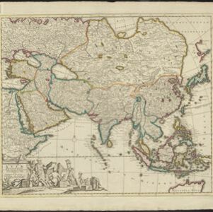
The cartouche on this late 17th century map of Asia features an illustration of Asian traders negotiating a deal. In the background, their workers carry packages and tend to a camel.

close