Search

Search Results

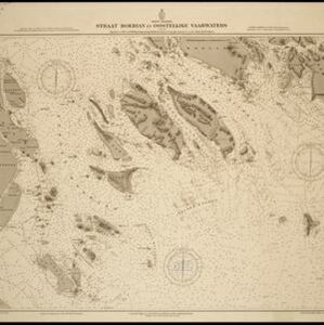
Riouw archipel: Straat Doerian en oostelijke vaarwaters

event1899

location_onIndonesia

Navigation map of the waters and straits around some of the islands of the Riau Archipelago, between Sumatra and Batam. Bathymetry (sea depth), current and tide data, reefs, shoals and other obstructions (clay, mud, shells, stones, sand) are marked.

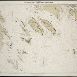
Riouw archipel: Straat Doerian en oostelijke vaarwaters

event1898

location_onIndonesia

Navigation map of the waters and straits around some of the islands of the Riau Archipelago, between Sumatra and Batam. Bathymetry (sea depth), current and tide data, reefs, shoals and other obstructions (clay, mud, shells, stones, sand) are marked.

Kaart van den Nederlandsch-Indischen Archipel

event1890

location_onIndonesia, East Timor, Brunei, Cambodia, Malaysia, Philippines, Singapore, Southeast Asia, Thailand, Vietnam

The seas of the Dutch East Indies are the focus of this map, with maritime routes, sea temperature, sea depth, currents and monsoons shown. There are graphs of population by ethnicity, agriculture and livestock, trade and shipping, and trade exports.

close

  • Filter from 1890 to 1899

Current results range from 1890 to 1899