Search Results

Schetskaart van het N.W. gedeelte der Residentie Sumatra's Oostkust
1877
Indonesia
Rivers and crops are the focus of this map of the northeast coast of Sumatra. Forests and wetlands are marked, as are alang-alang, coconut, pepper, nutmeg and tobacco. Roads are shown as suitable for infantry and light artillery, or for horse riding.

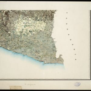
Topographische kaart der residentie Djokjakarta
1870
Indonesia
The residency of Djokjakarta (Yogyakarta), southern Java, featuring crops (coffee, sugar, rice, alang-alang, tobacco, indigo plants, nipa palm, bamboo); warehouses, cemeteries, post offices; routes, administrative borders; mountains, rivers.
- [remove]Dutch East Indies65
- Java21
- Sumatra21
- Borneo12
- Aceh8
- Lesser Sunda Islands8
- West Kalimantan8
- Madoera7
- Madura7
- Banda Aceh6
- Lombok6
- Sunda Islands6
- more Detailed Location »


