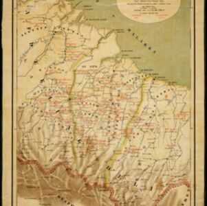
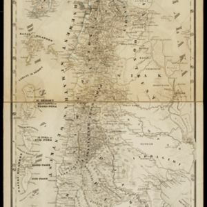
Het door Nederland bezette gebied van Groot-Atjeh met de naaste omgeving
1899
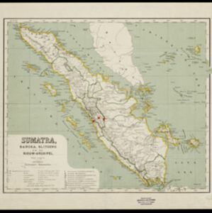
Indonesia
Map focusing on Kota Radja (city of Banda Aceh, Sumatra) during the Aceh War (1873–1904) fought between the Sultanate of Aceh and Dutch colonists. Dutch forts are shown in a zone around the city, and villages are marked in the surrounding country.