Search

Search Results

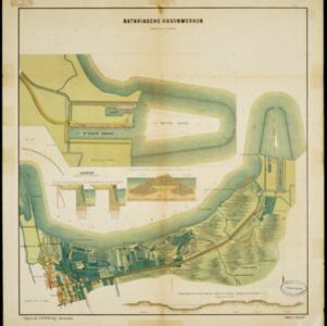
Bataviasche havenwerken

event1880

location_onIndonesia

A map of the rail, canal and road connections of Batavia (Jakarta, Java) and its port of Tanjung Priok. There is an inset map of the port—harbours, dock, coal sheds, well and water tower—and cross-sections of the inner harbour walls and harbour dam.

Nieuwe kaart van het eiland Java

event1816

location_onIndonesia

Map of Java marked with administrative regions, settlements, roads, mountains and rivers. There is an inset map of the port city of Batavia, with its system of rivers and canals, and its surrounding country with villages, fields and plantations.

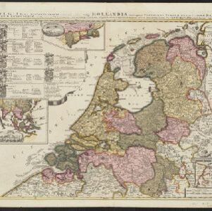
Belgii pars septentrionalis communi nomine vulgo Hollandia nuncupata continens statum potentissimae Batavorum Reipublicae septimas seu Provincias Foederatas

event1700

location_onBrunei, Cambodia, East Timor, Indonesia, Laos, Malaysia, Myanmar, Philippines, Singapore, Southeast Asia, Thailand, Vietnam

An 18th century map of the Netherlands, with an inset map of Southeast Asia highlighting the trade of the Dutch and their colonies. Within the inset is a drawing of the port of Batavia (Jakarta) with sailing ships in the harbour and mountains behind.

close

  • Filter from 1700 to 1880

Current results range from 1700 to 1880