Search

Search Results

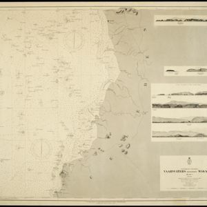
Westkust Celebes: Vaarwaters benoorden Makasser: Blad I

event1898

location_onIndonesia

Navigation map of the west coast of Celebes (Sulawesi), north of Makassar. Bathymetry (sea depth), lighthouses, shoals and other obstructions are marked, with trees and hills as landmarks, and elevations (side views of hills) to aid navigation.

Riouw-archipel: Reede Riouw

event1895

location_onIndonesia

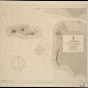
Navigation map of the Riau Roadstead (off west coast of Bintan, Riau Archipelago): a body of water sheltered from tides/currents, for ships to anchor. Bathymetry (sea depth) and various obstructions and landmarks (hills, buildings, trees) are shown.

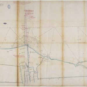
Situatie kaart van een gedeelte der stad Batavia

event1874

location_onIndonesia

Map of the coastline of the bay of Batavia (Jakarta) showing the extension of the port’s pier (in red, labelled CD), the sand and mud bank and bathymetry (sea depth) in the bay, and notes regarding changes in tide levels over the years.

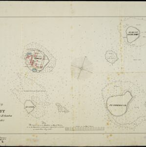
Kaart van Onrust en bijliggende eilanden in het jaar 1837

event1840

location_onIndonesia

Map of the Dutch town and naval base on the island of Onrust in Batavia (Jakarta) Bay, and adjacent islands, featuring the dock, boat and work sheds, ammunition stores, forge, hospital and housing. Shoals, reefs and bathymetry (sea depth) are marked.

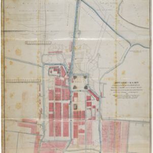
Situatie-kaart van een gedeelte der stad Batavia benevens de bank voor de Groote rivier

event1817

location_onIndonesia

Plan of the canals and rivers flowing through the city of Batavia (Jakarta), passing through the port before reaching the pier and the bay. The bay has a sand bank and figures for water depth. There are profile drawings of two of the city’s rivers.

close

  • Filter from 1817 to 1898

Current results range from 1817 to 1898