Search

Search Results

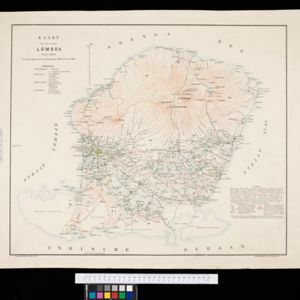
Kaart van het eiland Lombok

event1897

location_onIndonesia

A map of the island of Lombok divided into administrative districts. Rivers, roads and paths, forests and mountains, anchor points, and crops—rice, coconut, coffee, banana, alang-alang, bamboo, casuarina (Javanese pine)—are marked.

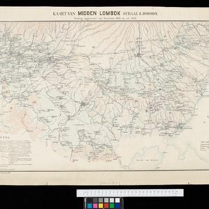
Kaart van Midden Lombok

event1897

location_onIndonesia

Map of southern Lombok in the Lesser Sunda Islands, including the capital city Mataram, other settlements, routes and crops/plantations—rice, coconut, tea, coffee, banana, alang-alang, bamboo, arenga palm—with more mountainous regions to the north.

Kaart van de Hoofdplaats Padang

event1896

location_onIndonesia

Map of the city of Padang, Sumatra, featuring roads, religious and military buildings, markets, warehouses and factories, and a railway station. Surrounding areas have villages and fields of rice, nutmeg, coconut, bamboo, alang-alang, sugarcane.

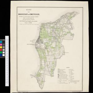
Kaart van Makassar en Omstreken

event1894

location_onIndonesia

Map of the city of Makassar, Celebes (Suawesi), with the Dutch Fort Rotterdam, Koning’s Plein (King's Square) and a military hospital. The surrounding area has villages and crops: rice (paddy) fields, coconut, bamboo, nipa palm, banana.

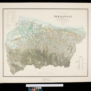
Topographische Kaart der residentie Pekalongan

event1892

location_onIndonesia

Topographic map of the residency of Pekalongan (Central Java), divided into regencies (pink borders) and districts (yellow borders). Mountains, forests, settlements, routes, crops—alang-alang, coffee, sugar, rice—factories and warehouses are shown.
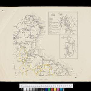
Kaart van de residentie Oostkust van Sumatra

event1889

location_onIndonesia

Detailed topographical map of the east coast of Sumatra, spread over 34 sheets. The area’s farms are listed and shown on the map, with types of crop grown. With five inset maps of individual towns. Two sheets and the cover sheet are missing.

Kaart van de Oosterhelft der Residentie Timor

event1860

location_onIndonesia

Map of the eastern half of the Dutch colonial administrative region (residency) of Timor, with an inset map of its capital city and port Timorkoepang (Kupang). (From ‘Algemeene Atlas van Nederlandsche Indie [General Atlas of the Dutch East Indies]’.)

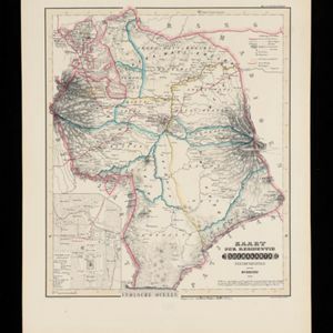
Kaart der Residentie Soerakarta

event1859

location_onIndonesia

Map of the Dutch colonial administrative region (residency) of Soerakarta (Surakarta, Java). Inset map of Surakarta city, with a military fort and two palaces. (From ‘Algemeene Atlas van Nederlandsche Indie [General Atlas of the Dutch East Indies]’.)
close

  • Filter from 1859 to 1897

Current results range from 1859 to 1897