Search

Search Results

Reduzirte Karte vom Sunda- oder Borneo-Meere

event1835

location_onMalaysia, Indonesia

A navigation map of the Java Sea and Sunda Islands, with bathymetry (sea depth), maritime routes, shoals and reefs, and elevations (side views of terrestrial landmarks). Inset maps feature the bay at Batavia and the straits between the Sunda Islands.

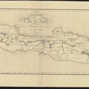
Esquisse de l'ile de Java: divisée en Residences avec indication des chefs-lieux

event1833

location_onIndonesia

Map of Java divided into Dutch administrative areas (‘residencies’), and the Empire of Soerakarta and Kingdom of Djokjakarta, which were under indigenous rule (a note records the territories these indigenous areas lost in the Java War (1825–1830)).

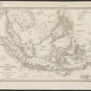
Die Ostindischen Inseln

event1830

location_onBrunei, Cambodia, East Timor, Indonesia, Laos, Malaysia, Myanmar, Philippines, Singapore, Southeast Asia, Thailand, Vietnam

Map of Southeast Asia highlighting European colonial possessions. Unusually, the south coast of the Philippine island of Mindanao is shown twice, reflecting uncertainty about its true location. Names of indigenous peoples are listed on Borneo.

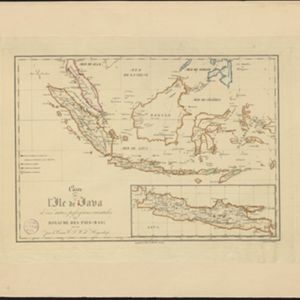
Carte de l'ile de Java et des autres possessions orientales du Royaume des Pays-Bas

event1830

location_onIndonesia, Malaysia, Philippines, East Timor, Singapore

A French map of the Asian colonial possessions of the Netherlands (Dutch East Indies), with an inset map of the island of Java. Colonies of Britain (Malay Peninsula), Spain (the Philippines) and Portugal (parts of Floris and Timor) are also marked.

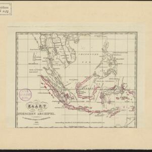
Kaart van den Indischen Archipel

event1830

location_onBrunei, Cambodia, East Timor, Indonesia, Laos, Malaysia, Myanmar, Philippines, Singapore, Southeast Asia, Thailand, Vietnam

This map shows the Dutch colonial possessions or dependencies in the East Indies during the early 19th century. Areas not coloured red remained under local rulers or were colonies of other European powers.

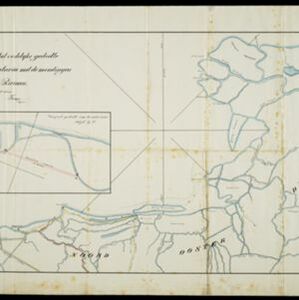
Situatie kaart van het oostelijke gedeelte van de Baai van Batavia met de mondiugen der daar in uitloopende rivieren

event1828

location_onIndonesia

A hand-drawn map of the northern part of Batavia Bay, showing rivers and the city of Batavia (Jakarta). An inset map shows a proposed canal designed to join two parts of the Antjol River.

Plan van de Iris-straat en Triton's-baai

event1828

location_onIndonesia

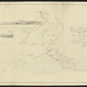
Hand-drawn map of routes through the Iris-straat (Iris Strait) and Triton’s-baai (Triton Bay) in New Guinea. Bathymetry (sea depth) and reefs are shown, and there is an elevation (side view) of the islands and hills seen at the bay’s entrance.

Kaart van Soerabaia 1825

event1825

location_onIndonesia

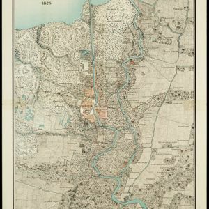
This map of the city of Soerabaia (modern Surabaya, East Java) shows the Mas River flowing through the city, with wetlands near the coast, and fields, plantations and villages in the surrounding countryside. A 1931 reprint of an 1825 map.

Schets van het vaarwater naar en op de reede van Batavia

event1824

location_onIndonesia

This early 19th century map shows the islands, shoals and reefs in the harbour of the important port city of Batavia (Jakarta) in the Dutch East Indies. Individual islands and reefs are named, as are the rivers and canals on land.

Schetze van de bank voor de Groote rivier te Batavia, met de geprojekteerde en gedeeltelijk geexecuteerde zee hoofden

event1823

location_onIndonesia

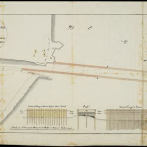
Plan of improvements to the pier at the port in Batavia (Jakarta): new parts added in 1822 are labelled AB; numbers record the change in water depth (red is before the improvements; black is after). Planned future works (labelled BC) are also shown.

close