Search
Refine your results
Location
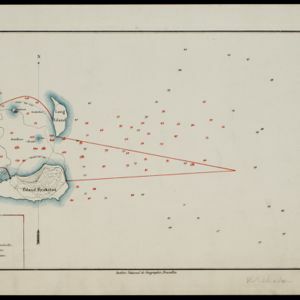
- check_box[remove]Eiland Krakatau2
- check_box_outline_blankKrakatoa2
- check_box_outline_blankSunda Strait2
- check_box_outline_blankDutch East Indies1
- check_box_outline_blankLang Eiland1
- check_box_outline_blankLang Island1
- check_box_outline_blankPulau Krakatau1
- check_box_outline_blankPulau Krakatau Kecil1
- check_box_outline_blankPulau Sertung1
- check_box_outline_blankStraat Soenda1
- check_box_outline_blankVerlaten Eiland1
- check_box_outline_blankVerlaten Island1


