Search

Search Results

Handelskaartje van den Nederlandsch Indischen archipel

event1883

location_onIndonesia, East Timor

This map is concerned with trade in the Dutch East Indies, highlighting useful resources such as maritime routes, railways, telegraph lines and offices, coast and harbour lights, offices of officials, areas that apply tolls and duties etc.

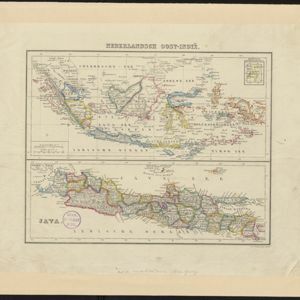
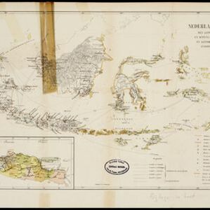
Nederlandsch Oost-Indië / Java

eventc.1850

location_onBrunei, East Timor, Indonesia, Malaysia, Philippines, Singapore, Thailand

Two maps of the Dutch East Indies: one of the whole region, and one of Java alone. Both are divided into administrative regions—e.g. Java is divided into regencies—with coloured borders.

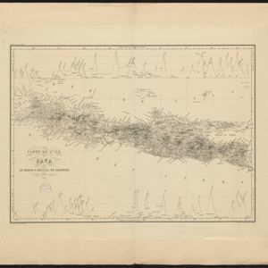
Carte de l'île de Java

event1847

location_onIndonesia

This map uses hachures—short lines/dashes that give a sense of the shape and steepness of terrain—to show Java’s mountains. There are also two side views (elevations) of the mountains showing the heights of various road routes across the island.

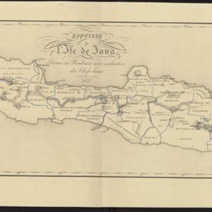
Esquisse de l'ile de Java: divisée en Residences avec indication des chefs-lieux

event1833

location_onIndonesia

Map of Java divided into Dutch administrative areas (‘residencies’), and the Empire of Soerakarta and Kingdom of Djokjakarta, which were under indigenous rule (a note records the territories these indigenous areas lost in the Java War (1825–1830)).

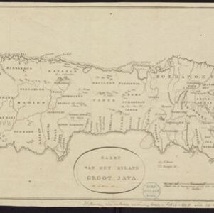
Kaart van het eiland Groot Java

event1798

location_onIndonesia

Map of Java divided into administrative areas. Mountains are shown pictorially, major rivers are named, and the coasts have shoals. The map is orientated with south at the top, so the island looks ‘upside down’ compared to how it is usually shown.

close

  • Filter from 1798 to 1883

Current results range from 1798 to 1883