Search

Search Results

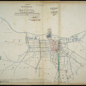
Situatieplan van Batavia desselfs stranden en ommelanden

event1898

location_onIndonesia

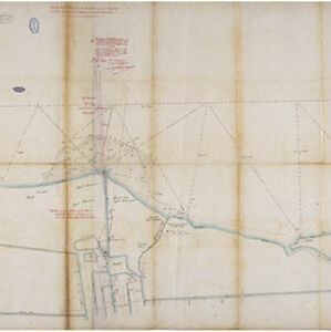
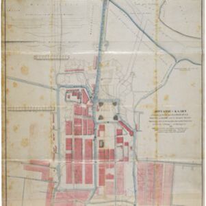
Plan of the city of Batavia (Jakarta), its suburbs and surrounding areas, focussing on the river and canal system. This is a copy of an original c.1790 map. The pier has been pencilled in, as it was not built when the original map was produced.

Atlas van Nederlandsch Oost-Indië

eventc.1897-1904

location_onIndonesia

Very detailed atlas of the entire Dutch East Indies, over 16 map sheets, with a cover and overview map. Includes topographic maps, inset maps of cities and islands, and maps featuring land and sea routes, languages, geology, colonial territory etc.

Situatie kaart van een gedeelte der stad Batavia

event1874

location_onIndonesia

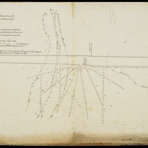
Map of the coastline of the bay of Batavia (Jakarta) showing the extension of the port’s pier (in red, labelled CD), the sand and mud bank and bathymetry (sea depth) in the bay, and notes regarding changes in tide levels over the years.

Situatie-teekening van het Haven-kanaal

event1864

location_onIndonesia

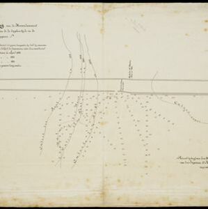
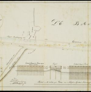
Plan of the pier at the port of Batavia (Jakarta). Lines indicate the changing position of the beach and the sandbank over the years, and numbers show the water depth (red numbers=measured in the year 1823, blue=1831 and black=1864).

Situatie-teekening van de havendammen te Batavia

event1864

location_onIndonesia

Plan of the pier at the port of Batavia (Jakarta). Lines indicate the changing position of the beach and the sandbank over the years, and numbers show the water depth (red numbers=measured in the year 1823, blue=1831 and black=1864).

Algemeene Kaart van Nederlandsch Oostindie

event1842

location_onEast Timor, Indonesia, Malaysia, Singapore

This detailed map of the Dutch East Indies in the mid-19th century is spread over eight sheets, plus a cover sheet showing the whole area. There are numerous inset maps of islands, bays, cities etc.

Algemeene kaart van Nederlandsch Oostindie

eventc.1839-1855

location_onEast Timor, Indonesia, Malaysia, Singapore

This map of the Dutch East Indies is spread over eight sheets, with a hand-drawn cover sheet showing the whole area. There are numerous inset maps of islands, bays, cities etc. Two of the inset maps have a replacement map pasted over them.

Schetze van de bank voor de Groote rivier te Batavia, met de geprojekteerde en gedeeltelijk geexecuteerde zee hoofden

event1823

location_onIndonesia

Plan of improvements to the pier at the port in Batavia (Jakarta): new parts added in 1822 are labelled AB; numbers record the change in water depth (red is before the improvements; black is after). Planned future works (labelled BC) are also shown.

Schetze van de nieuwgemaakte zeehoofden en een gedeelte der bank voor de Groote rivier te Batavia met derzelver uitbreiding zedert 1817 tot 1823

event1823

location_onIndonesia

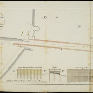
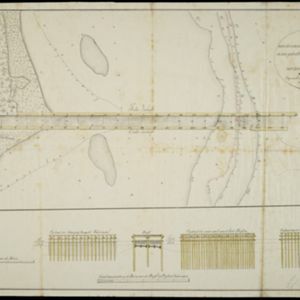
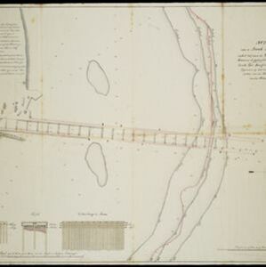
Plan of improvements made to the pier at the port in Batavia (Jakarta), including profile drawings of the construction parts. Lines indicate the changing position of the beach and the sandbank over the years, and numbers show the water depth.

Schetze van de bank met derzelver uitbreiding zedert 1817 voor de Groote rivier te Batavia, benevens de geprojekteerde en gedeeltelijk geexecuteerde zee-hoofden

event1823

location_onIndonesia

Plan of improvements made to the pier at the port in Batavia (Jakarta): red lines show new parts added in 1822; numbers record the change in water depth (red is 1818; black is 1823). Planned future works and the ‘Waterkasteel’ fort are also shown.

Schets der verrigte werkzaamheden aan de zee hoofden op de bank voor de Groote rivier te Batavia

event1822

location_onIndonesia

Plan of improvements made to the pier at the port in Batavia (Jakarta): red lines show new parts added in 1822; numbers record the change in water depth (red is 1818; black is 1822). Planned future works and the ‘Waterkasteel’ fort are also shown.

Situatie-kaart van een gedeelte der stad Batavia benevens de bank voor de Groote rivier

event1817

location_onIndonesia

Plan of the canals and rivers flowing through the city of Batavia (Jakarta), passing through the port before reaching the pier and the bay. The bay has a sand bank and figures for water depth. There are profile drawings of two of the city’s rivers.

close