Search

Search Results

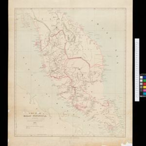
A Map of the Malay Peninsula

event1897

location_onIndonesia, Malaysia, Singapore, Thailand

On this late 19th century map of the Malay Peninsula, the British colonial territories—the Straits Settlements of Singapore, Malacca, Dinding and Penang—are in red, demarcating them from the British protectorate states of the rest of the peninsula.

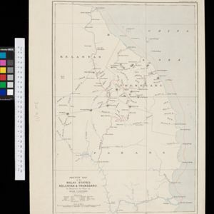
Sketch map of the Malay States, Kelantan and Trengganu, to illustrate the Paper by Hugh Clifford

event1896

location_onMalaysia

Map of the east coast of the Malay Peninsula, showing the route taken along the rivers and coast by Hugh Clifford, who was the British Resident at Pahang at the time. In addition to rivers, significant mountains and settlements are marked.

Map of the Malay Peninsula

event1883

location_onMalaysia, Singapore

The Straits Settlements are in red, with the rest of the map marked with names of local peoples (‘Inhabited by the Johor Jakuns’) and resources (mines). Many areas are left blank or vague as unexplored or approximate. Inset map of Singapore city.

close

  • Filter from 1883 to 1897

Current results range from 1883 to 1897