Search

Search Results

Map of the Malay Peninsula 1879

event1879

location_onMalaysia, Singapore, Thailand

Six-sheet map of the Malay Peninsula, featuring settlements, mountains and rivers. Labels note names of indigenous peoples, or describe terrain/resources. There is an inset map of Singapore town, and the Straits Settlements are highlighted in red.

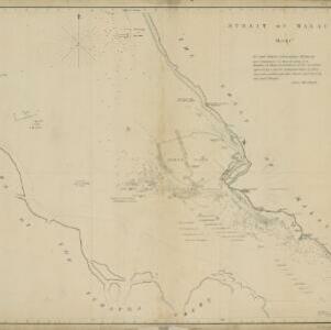
Strait of Malacca: Sheet 1st

event1812

location_onMalaysia, Indonesia

This map of the Straits of Malacca features shoals and reefs, bathymetry (sea depth), drawings of side views of landmark mountains (elevations) and written observations, all designed to aid navigation.

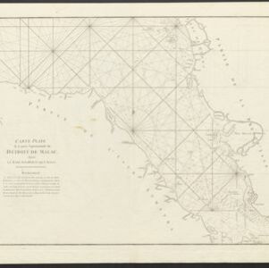
Carte Plate de la Partie Septentrionale du Détroit de Malac: depuis la Rade D'Áchem jusqu'a Malac

event1775

location_onIndonesia, Malaysia

Map of the northern Malacca Strait—between Sumatra and Malaya—with shoals and reefs marked, some labelled as ‘dangerous’. The web of lines is a rhumbline network, while the numbers indicate sea depth (bathymetry), both used to aid navigation.

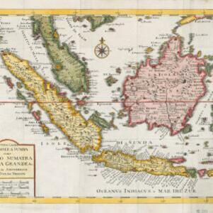
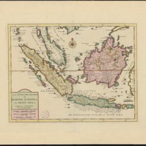
Nuove carte delle Isole di Sunda come Borneo, Sumatra e Java Grande &c.

event1740

location_onBrunei, Cambodia, Indonesia, Malaysia, Singapore, Thailand

Based on a Dutch map of the Sunda Islands, with the text changed to Italian. Some Dutch remains e.g. a label on Borneo: ‘Beajous Afgoden dienars bewonende het middelste gedeelte vant Eilland [Beajous idolaters inhabit the middle part of the Island]’.

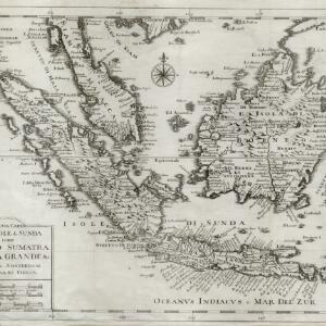
Nuove carte delle Isole di Sunda come Borneo, Sumatra e Java Grande &c.

eventc.1740-1784

location_onBrunei, Cambodia, Indonesia, Malaysia, Singapore, Thailand

Based on a Dutch map of the Sunda Islands, with the text changed to Italian. Some Dutch remains e.g. a label on Borneo: ‘Beajous Afgoden dienars bewonende het middelste gedeelte vant Eilland [Beajous idolaters inhabit the middle part of the Island]’.

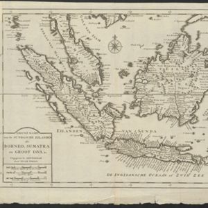
Nieuwe kaart van de Sundasche eilanden als Borneo, Sumatra en Groot Iava &c.

eventc.1731-1769

location_onBrunei, Cambodia, Indonesia, Malaysia, Singapore, Thailand

On this mid-18th century map of the Sunda Islands, a label on the island of Borneo states ‘Beajous Afgoden dienars bewonende het middelste gedeelte vant Eilland [Beajous idolaters inhabit the middle part of the Island]’.

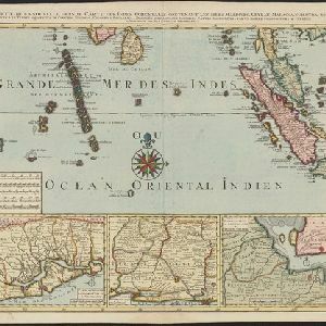
Partie de la nouvelle Grande Cartes des Indes Orientales, contenant les Isles Maldives, Ceylan, Malacca, Sumatra &c.

event1700

location_onIndonesia, Malaysia, Singapore, Thailand

Sumatra and the Malay Peninsula feature on this map of the Indian Ocean. Enganno Island, west of southern Sumatra, has a label that translates as ‘inhabited by very pernicious savages’. An inset map depicts the Madura Strait between Java and Madura.

Le Détroit de Malacca: dressé sur les memoires des plus savans Voyageurs modernes

eventc.1700-1799

location_onMalaysia, Indonesia, Singapore

This 18th century map was designed to aid navigation through the Strait of Malacca between Sumatra and the Malay Peninsula. Shoals, reefs and islands are marked, and the numbers printed on the strait record sea depth (bathymetry).

close