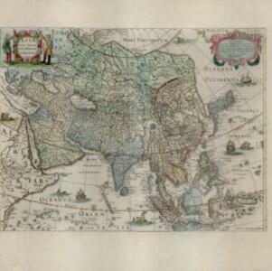
Tabula Indiae Orientalis
1670
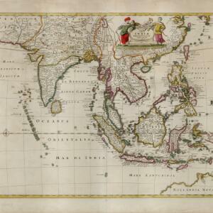
Brunei, Cambodia, East Timor, Indonesia, Laos, Malaysia, Myanmar, Philippines, Singapore, Southeast Asia, Thailand, Vietnam
The cartouche on this mid-17th century map of Asia by the Dutch cartographer Frederik de Wit (c. 1629–1706) is decorated with drawings of Asian men dressed in traditional costume and carrying bows.